Home
World
NEW
Premium
Shop
Trails
Articles
Help and support
Français
English
Nederlands
Español
Italiano
Deutsch
Log in
Home
World
Premium
Shop
Trails
Articles
Help and support
SityTrail
>
Points of interest
>
4
SityTrail
>
Points of interest
>
4
4
Description
Chemin
Photos
4 can be discovered in the following trails...
tracegps
Le Béal à Lempdes
Walking
Medium
Lempdes-sur-Allagnon, Auvergne-Rhône-Alpes, Haute-Loire, France
12.8 km | 13.8 km-effort
2h 49min
No
tracegps
User
©
OpenStreetMap
contributors
Positioning
Country:
France
Region :
Auvergne-Rhône-Alpes
Department/Province :
Haute-Loire
Municipality :
Sainte-Florine
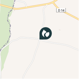
Location:
Unknown
Positioning
45.4126525 / 3.2992887000000004
Creation date :
2018-04-09 12:23:51.563
Updated on
2018-04-09 12:23:51.563
(0 Reviews)
Comments
Please log in to post a review or rate the element
Points of interest nearby
tracegps
5
CHARBONNIER-LES-MINES
tracegps
6
CHARBONNIER-LES-MINES
tracegps
3
SAINTE-FLORINE
tracegps
2
MORIAT
tracegps
1
LEMPDES-SUR-ALLAGNON
tracegps
7
LEMPDES-SUR-ALLAGNON
tracegps
arrivée
LEMPDES-SUR-ALLAGNON
tracegps
départ
LEMPDES-SUR-ALLAGNON
Close
My subscriptions