Home
World
NEW
Premium
Shop
Trails
Articles
Help and support
Français
English
Nederlands
Español
Italiano
Deutsch
Log in
Home
World
Premium
Shop
Trails
Articles
Help and support
SityTrail
>
Points of interest
>
GC139B0
SityTrail
>
Points of interest
>
GC139B0
GC139B0
Description
Au fil de l'eau by emil300, Mu
Photos
GC139B0 can be discovered in the following trails...
tracegps
Col du Souffre et Lacs Mont-Coua
Walking
Difficult
(1)
Les Allues, Auvergne-Rhône-Alpes, Savoy, France
25 km | 41 km-effort
7h 0min
Yes
tracegps
User
©
OpenStreetMap
contributors
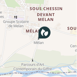
Positioning
Country:
France
Region :
Auvergne-Rhône-Alpes
Department/Province :
Upper Savoy
Municipality :
Taninges
Location:
Unknown
Positioning
46.101166997 / 6.597966962
Creation date :
2018-04-09 12:22:38.343
Updated on
2018-04-09 12:22:38.343
(0 Reviews)
Comments
Please log in to post a review or rate the element
Points of interest nearby
tracegps
GC139B0
TANINGES
tracegps
GC139B0
TANINGES
tracegps
GC139B0
TANINGES
tracegps
GC139B0
TANINGES
tracegps
GC139B0
TANINGES
tracegps
GC139B0
TANINGES
tracegps
GC139B0
TANINGES
tracegps
GC139B0
TANINGES
Close
My subscriptions