Home
World
NEW
Premium
Shop
Trails
Articles
Help and support
Français
English
Nederlands
Español
Italiano
Deutsch
Log in
Home
World
Premium
Shop
Trails
Articles
Help and support
SityTrail
>
Points of interest
>
GCDFD0
SityTrail
>
Points of interest
>
GCDFD0
GCDFD0
Description
La Plagne ski area cache by ya
Photos
GCDFD0 can be discovered in the following trails...
tracegps
Col du Souffre et Lacs Mont-Coua
Walking
Difficult
(1)
Les Allues, Auvergne-Rhône-Alpes, Savoy, France
25 km | 41 km-effort
7h 0min
Yes
tracegps
User
©
OpenStreetMap
contributors
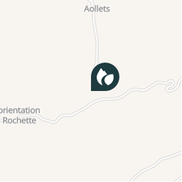
Positioning
Country:
France
Region :
Auvergne-Rhône-Alpes
Department/Province :
Savoy
Municipality :
La Plagne-Tarentaise
Location:
Mâcot-la-Plagne
Positioning
45.49233296 / 6.690100003
Creation date :
2018-04-09 12:22:21.704
Updated on
2018-04-09 12:22:21.704
(0 Reviews)
Comments
Please log in to post a review or rate the element
Points of interest nearby
tracegps
GCDFD0
LA PLAGNE-TARENTAISE
tracegps
GCDFD0
LA PLAGNE-TARENTAISE
tracegps
GCDFD0
LA PLAGNE-TARENTAISE
tracegps
GCDFD0
LA PLAGNE-TARENTAISE
tracegps
GCDFD0
LA PLAGNE-TARENTAISE
tracegps
GCDFD0
LA PLAGNE-TARENTAISE
tracegps
GCDFD0
LA PLAGNE-TARENTAISE
tracegps
GCDFD0
LA PLAGNE-TARENTAISE
Close
My subscriptions