Home
World
NEW
Premium
Shop
Trails
Articles
Help and support
Français
English
Nederlands
Español
Italiano
Deutsch
Log in
Home
World
Premium
Shop
Trails
Articles
Help and support
SityTrail
>
Points of interest
>
GCQ59G
SityTrail
>
Points of interest
>
GCQ59G
GCQ59G
Description
Chapelle Saint Sauveur by buck
Photos
GCQ59G can be discovered in the following trails...
tracegps
Col du Souffre et Lacs Mont-Coua
Walking
Difficult
(1)
Les Allues, Auvergne-Rhône-Alpes, Savoy, France
25 km | 41 km-effort
7h 0min
Yes
tracegps
User
©
OpenStreetMap
contributors
Positioning
Country:
France
Region :
Occitania
Department/Province :
Gard
Municipality :
Cornillon
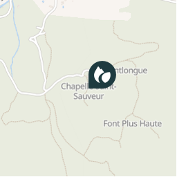
Location:
Unknown
Positioning
44.201017041 / 4.500350012
Creation date :
2018-04-09 12:22:09.049
Updated on
2018-04-09 12:22:09.049
(0 Reviews)
Comments
Please log in to post a review or rate the element
Points of interest nearby
tracegps
GCRVGC
LA ROQUE-SUR-CÈZE
tracegps
LA ROQUE-S
LA ROQUE-SUR-CÈZE
tracegps
LA ROQUE-S
LA ROQUE-SUR-CÈZE
tracegps
GCXQG1
CORNILLON
tracegps
GCZVWV
LA ROQUE-SUR-CÈZE
bernard1959
Point 1
SAINT-MICHEL-D'EUZET
tracegps
SAINT-ANDR
SAINT-ANDRÉ-D'OLÉRARGUES
tracegps
SAINT-ANDR
SAINT-ANDRÉ-D'OLÉRARGUES
Close
My subscriptions