Home
World
NEW
Premium
Shop
Trails
Articles
Help and support
Français
English
Nederlands
Español
Italiano
Deutsch
Log in
Home
World
Premium
Shop
Trails
Articles
Help and support
SityTrail
>
Points of interest
>
GCZB51
SityTrail
>
Points of interest
>
GCZB51
GCZB51
Description
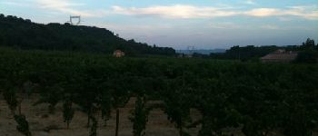
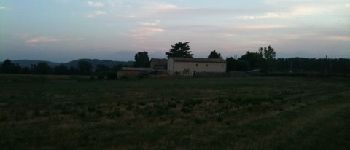
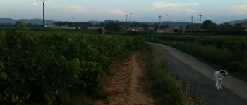
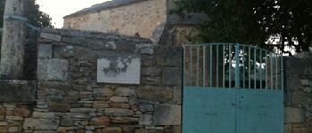
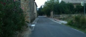
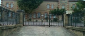
Le camp de César by buckfast,
Photos
GCZB51 can be discovered in the following trails...
tracegps
Col du Souffre et Lacs Mont-Coua
Walking
Difficult
(1)
Les Allues, Auvergne-Rhône-Alpes, Savoy, France
25 km | 41 km-effort
7h 0min
Yes
tracegps
User
©
OpenStreetMap
contributors
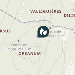
Positioning
Country:
France
Region :
Occitania
Department/Province :
Gard
Municipality :
Laudun-l'Ardoise
Location:
Unknown
Positioning
44.124433016 / 4.655199973
Creation date :
2018-04-09 12:22:55.956
Updated on
2018-04-09 12:22:55.956
(0 Reviews)
Comments
Please log in to post a review or rate the element
Points of interest nearby
tracegps
BAGNOLS-SU
BAGNOLS-SUR-CÈZE
tracegps
BAGNOLS-SU
BAGNOLS-SUR-CÈZE
crouzet.thierry
Daniel
TRESQUES
crouzet.thierry
nizier
TRESQUES
crouzet.thierry
tennis
TRESQUES
crouzet.thierry
chapelle
TRESQUES
crouzet.thierry
tresques
TRESQUES
crouzet.thierry
école
TRESQUES
Close
My subscriptions