Home
World
NEW
Premium
Shop
Trails
Articles
Help and support
Français
English
Nederlands
Español
Italiano
Deutsch
Log in
Home
World
Premium
Shop
Trails
Articles
Help and support
SityTrail
>
Points of interest
>
GC1CX54
SityTrail
>
Points of interest
>
GC1CX54
GC1CX54
Description
La clé des champs by Vilcanota
Photos
GC1CX54 can be discovered in the following trails...
tracegps
Pierre-Larron depuis La Charmette
Running
Difficult
Les Avanchers-Valmorel, Auvergne-Rhône-Alpes, Savoy, France
7.5 km | 13.7 km-effort
2h 30min
Yes
tracegps
User
©
OpenStreetMap
contributors
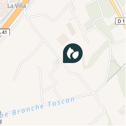
Positioning
Country:
France
Region :
Auvergne-Rhône-Alpes
Department/Province :
Isère
Municipality :
Montbonnot-Saint-Martin
Location:
Unknown
Positioning
45.21325 / 5.8195
Creation date :
2018-04-09 12:19:27.094
Updated on
2018-04-09 12:19:27.094
(0 Reviews)
Comments
Please log in to post a review or rate the element
Points of interest nearby
tracegps
GC1CX54
MONTBONNOT-SAINT-MARTIN
tracegps
GC1CX54
MONTBONNOT-SAINT-MARTIN
tracegps
GC1CX54
MONTBONNOT-SAINT-MARTIN
tracegps
GC1CX54
MONTBONNOT-SAINT-MARTIN
tracegps
GC1CX54
MONTBONNOT-SAINT-MARTIN
tracegps
GC1CX54
MONTBONNOT-SAINT-MARTIN
tracegps
GC1CX54
MONTBONNOT-SAINT-MARTIN
tracegps
GC1CX54
MONTBONNOT-SAINT-MARTIN
Close
My subscriptions