Home
World
NEW
Premium
Shop
Trails
Articles
Help and support
Français
English
Nederlands
Español
Italiano
Deutsch
Log in
Home
World
Premium
Shop
Trails
Articles
Help and support
SityTrail
>
Points of interest
>
GCYAB9
SityTrail
>
Points of interest
>
GCYAB9
GCYAB9
Description
Ravin du Clot Agnel by wanders
Photos
GCYAB9 can be discovered in the following trails...
tracegps
Dent du Villard depuis La Rosière
Walking
Difficult
(1)
Courchevel, Auvergne-Rhône-Alpes, Savoy, France
9.4 km | 19.2 km-effort
6h 0min
Yes
tracegps
User
©
OpenStreetMap
contributors
Positioning
Country:
France
Region :
Provence-Alpes-Côte d'Azur
Department/Province :
Hautes-Alpes
Municipality :
Vallouise-Pelvoux
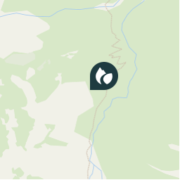
Location:
Vallouise
Positioning
44.79725 / 6.365
Creation date :
2018-04-09 12:21:56.493
Updated on
2018-04-09 12:21:56.493
(0 Reviews)
Comments
Please log in to post a review or rate the element
Points of interest nearby
tracegps
GCYAB9
VALLOUISE-PELVOUX
tracegps
GCYAB9
VALLOUISE-PELVOUX
tracegps
GCYAB9
VALLOUISE-PELVOUX
tracegps
GCYAB9
VALLOUISE-PELVOUX
tracegps
GCYAB9
VALLOUISE-PELVOUX
tracegps
GCYAB9
VALLOUISE-PELVOUX
tracegps
GCYAB9
VALLOUISE-PELVOUX
tracegps
GCYAB9
VALLOUISE-PELVOUX
Close
My subscriptions