Home
World
NEW
Premium
Shop
Trails
Articles
Help and support
Français
English
Nederlands
Español
Italiano
Deutsch
Log in
Home
World
Premium
Shop
Trails
Articles
Help and support
SityTrail
>
Points of interest
>
GCYTGJ
SityTrail
>
Points of interest
>
GCYTGJ
GCYTGJ
Description
L'ERMITE DU LAC by LILIMAZOT,
Photos
GCYTGJ can be discovered in the following trails...
tracegps
Crêt Coquet
Walking
Medium
(3)
Hautecour, Auvergne-Rhône-Alpes, Savoy, France
6.5 km | 9.6 km-effort
3h 30min
Yes
tracegps
User
©
OpenStreetMap
contributors
Positioning
Country:
France
Region :
Auvergne-Rhône-Alpes
Department/Province :
Upper Savoy
Municipality :
Talloires-Montmin
Location:
Talloires
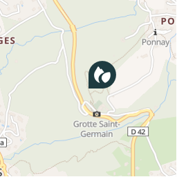
Positioning
45.843067 / 6.222067
Creation date :
2018-04-09 12:14:49.38
Updated on
2018-04-09 12:14:49.38
(0 Reviews)
Comments
Please log in to post a review or rate the element
Points of interest nearby
tracegps
GCYTGJ
TALLOIRES-MONTMIN
tracegps
GCYTGJ
TALLOIRES-MONTMIN
tracegps
GCYTGJ
TALLOIRES-MONTMIN
tracegps
GCYTGJ
TALLOIRES-MONTMIN
tracegps
GCYTGJ
TALLOIRES-MONTMIN
tracegps
GCYTGJ
TALLOIRES-MONTMIN
tracegps
GCYTGJ
TALLOIRES-MONTMIN
tracegps
GCYTGJ
TALLOIRES-MONTMIN
Close
My subscriptions