Home
World
NEW
Premium
Shop
Trails
Articles
Help and support
Français
English
Nederlands
Español
Italiano
Deutsch
Log in
Home
World
Premium
Shop
Trails
Articles
Help and support
SityTrail
>
Points of interest
>
coup de bois
SityTrail
>
Points of interest
>
coup de bois
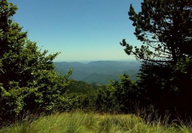
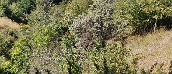
coup de bois
Description
Chemin
Photos
coup de bois can be discovered in the following trails...
tracegps
De Camprieu au Mont Aigoual
Walking
Difficult
Saint-Sauveur-Camprieu, Occitania, Gard, France
21 km | 29 km-effort
7h 0min
Yes
tracegps
User
©
OpenStreetMap
contributors
Positioning
Country:
France
Region :
Occitania
Department/Province :
Lozère
Municipality :
Meyrueis
Location:
Unknown
Positioning
44.1236687 / 3.5201311
Creation date :
2018-04-09 11:13:21.986
Updated on
2018-04-09 11:13:21.986
(0 Reviews)
Comments
Please log in to post a review or rate the element
Points of interest nearby
tracegps
fin de coup de bois
MEYRUEIS
gyart
CR200 072
VAL-D'AIGOUAL
HO49
Lac du Bonheur
SAINT-SAUVEUR-CAMPRIEU
HO49
Point 1
SAINT-SAUVEUR-CAMPRIEU
gyart
CR200 071
SAINT-SAUVEUR-CAMPRIEU
gyart
CR200 070B
SAINT-SAUVEUR-CAMPRIEU
nolsim
Point 3
VAL-D'AIGOUAL
gyart
CR200 073
VAL-D'AIGOUAL
Close
My subscriptions