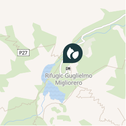
Point of interest Vinadio - Refuge Migliorero - Photo

Refuge Migliorero

Description

Refuge Migliorero

Photos

Refuge Migliorero can be discovered in the following trails...
Trail Walking Saint-Étienne-de-Tinée - Boucle Tinée-Stura - Photo
Walking
matel

Walking

Medium
Saint-Étienne-de-Tinée, Provence-Alpes-Côte d'Azur, Maritime Alps, France
43 km | 93 km-effort
17h 49min
No
 matel
matel

User

© OpenStreetMap contributors

Positioning

Country:
Italy
Region :
Piemont
Department/Province :
Cuneo
Municipality :
Vinadio
Location:
Unknown
Creation date :
2018-04-11 13:09:16.16
Updated on
2018-04-11 13:09:16.16

(0 Reviews)


Points of interest nearby

Point of interest Vinadio - 137 - Photo
tracegps
VINADIO 
Point of interest Vinadio - 137 - Photo
tracegps
VINADIO 
Point of interest Vinadio - 137 - Photo
tracegps
VINADIO 
Point of interest Vinadio - 137 - Photo
tracegps
VINADIO 
Point of interest Saint-Étienne-de-Tinée - B106 - Photo
jfdeligementon
SAINT-ÉTIENNE-DE-TINÉE 
Point of interest Saint-Étienne-de-Tinée - B106 - Photo
tracegps
SAINT-ÉTIENNE-DE-TINÉE 
Point of interest Saint-Étienne-de-Tinée - Point 10 - Photo
kenhava
SAINT-ÉTIENNE-DE-TINÉE 
Point of interest Saint-Étienne-de-Tinée - 19,5 km - Photo
maxime.ranchin@aliceadsl.fr
SAINT-ÉTIENNE-DE-TINÉE 


Close
My subscriptions