
13.6 km | 17.6 km-effort
The history of Grupont is relatively unknown. Few books refer to it. It is known that the village was donated to the Abbey of Saint-Hubert by the Bishop of Liège in 1087. There are then traces of Grupont during the construction of a chapel in 1540. Attached to Masbourg in 1823 under the French regime, Grupont regained its autonomy in 1858.
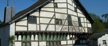
The economy of Grupont was above all agricultural, although forges and stoves were reported to be active in the 17th century. A lead mine is even exploited at this time. Moreover, new prospecting for lead took place in 1874 by the monks of the abbey.
The recent history of the village is of course closely linked to that of Bure, especially with regard to the Second World War. The village was reoccupied and looted between 22 December 44 and 10 January 45 by the Germans. Several buildings are completely destroyed.
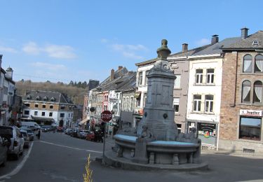
It should also be noted that Grupont is the only village of the Tellinese entity to benefit from the passage of the train. It was even in its time (until 1858) an important freight station, because as a terminus of the Brussels-Luxembourg line it was used for the transport of timber which constituted a local natural wealth. At present, the station remains a stop on the omnibus trains. (Source : The confraternity of the Djaye)

Walking
On foot
Walking
Walking
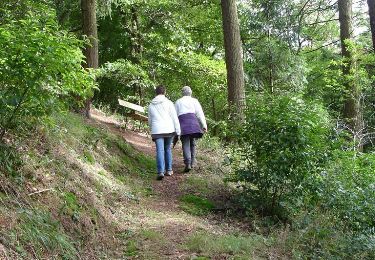
Walking
Cycle
Randonnées de la Grande Forêt de Saint-Hubert GUIDE+