Home
World
NEW
Premium
Shop
Trails
Articles
Help and support
Français
English
Nederlands
Español
Italiano
Deutsch
Log in
Home
Demos
Premium
Shop
Trails
Articles
Help and support
SityTrail
>
Points of interest
>
Col
SityTrail
>
Points of interest
>
Col
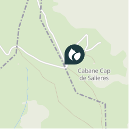
Col
Description
Photos
Col can be discovered in the following trails...
sga31
Sommet d'Antenac (1990m) depuis Mayrègne
Walking
Medium
Mayrègne, Occitania, Haute-Garonne, France
15.3 km | 28 km-effort
5h 45min
Yes
sga31
User
©
OpenStreetMap
contributors
Positioning
Country:
France
Region :
Occitania
Department/Province :
Haute-Garonne
Municipality :
Antignac
Location:
Unknown
Positioning
42.829347 / 0.5734959999999775
Creation date :
2018-04-10 17:48:44.623
Updated on
2018-04-10 17:48:44.623
(0 Reviews)
Comments
Please log in to post a review or rate the element
Close
My subscriptions