


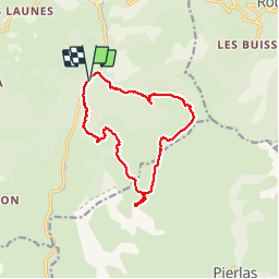
Les Cluots - Tête de Pommier par Pré de Chaudi

GrouGary
User


5h03
Difficulty : Medium

FREE GPS app for hiking
 SityTrail
IGN / Geographical institutes
SityTrail Plus
The world is yours!
About
Trail Walking of 13 km to be discovered at Provence-Alpes-Côte d'Azur, Maritime Alps, Beuil. This trail is proposed by GrouGary.
Description
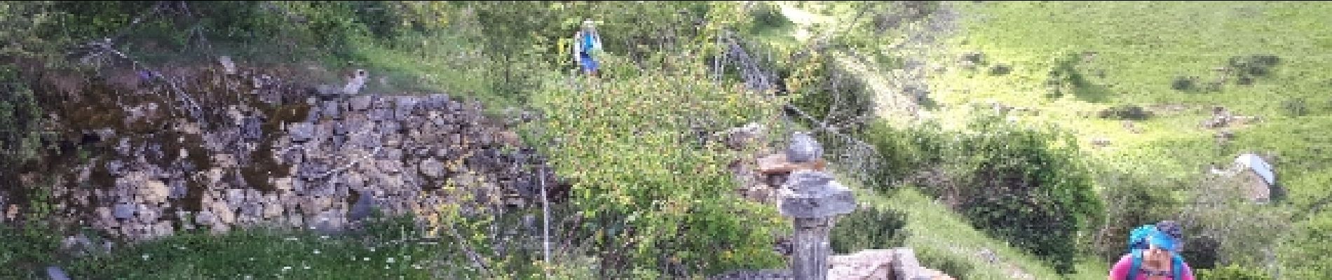
Montée sur sentier avec nombreux arbres qui coupent le sentier - Alpages très agréables à Cluots, en présence des moutons - Après Tête de Pommier, le retour sur PR est mal balise (ne pas quitter les piquets en bois, ne pas suivre les tracés rouges sur IGN)
Photos

Positioning
Comments