


4.3 km | 6.6 km-effort
Beuil: Discover the best trails: 70 hiking trails and 6 bike and mountain-bike routes. All these trails, routes and outdoor activities are available in our SityTrail applications for smartphones and tablets.
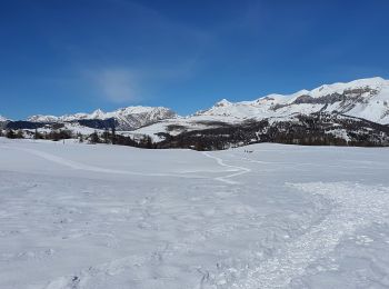
Snowshoes


On foot
• Randonnée pédestre - Haut pays : Au départ de Beuil (1 450 mètres) Website: https://randoxygene.departement06.fr/hau...
On foot
• Randonnée pédestre - Haut pays :Au départ de Beuil, route du Cians (1 288 mètres) Website: https://randoxygene.depar...

Walking
Walking
Walking
Walking
Walking
Walking
Walking
Snowshoes
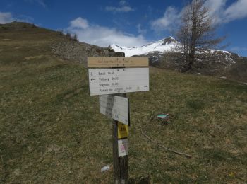
Walking
Walking
Walking
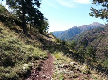
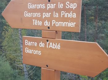
• Gorges du Cians - AR sur les corniches - Départ à la passerelle de l'Ablé
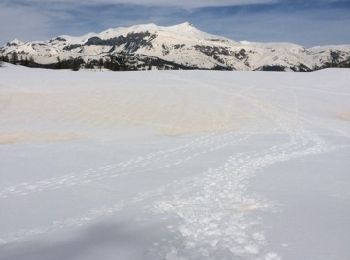
Snowshoes
• Petite promenade de sante
Walking
Walking
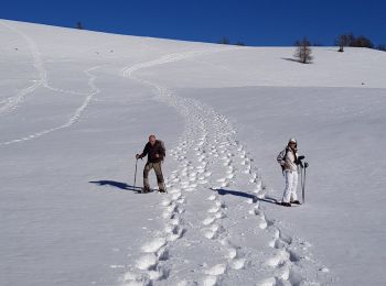
Snowshoes
Walking
Walking
20 trails displayed on 93
FREE GPS app for hiking
 SityTrail
IGN / Geographical institutes
SityTrail World
The world is yours!