


Lac de la Plagne

cron
User
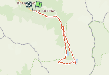

Length
16.3 km

Max alt
2377 m

Uphill gradient
883 m
Km-Effort
28 km

Min alt
1544 m

Downhill gradient
891 m
Boucle
Yes
Creation date :
2019-01-15 13:13:44.628
Updated on :
2019-01-15 13:13:44.628
5h45
Difficulty : Medium

FREE GPS app for hiking
 SityTrail
IGN / Geographical institutes
SityTrail Plus
The world is yours!
About
Trail Walking of 16.3 km to be discovered at Auvergne-Rhône-Alpes, Savoy, Peisey-Nancroix. This trail is proposed by cron.
Positioning
Country:
France
Region :
Auvergne-Rhône-Alpes
Department/Province :
Savoy
Municipality :
Peisey-Nancroix
Location:
Unknown
Start:(Dec)
Start:(UTM)
328478 ; 5042915 (32T) N.
Comments