


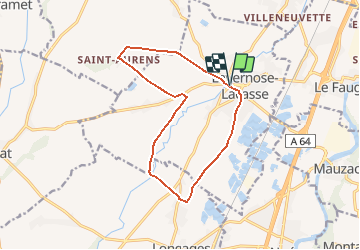

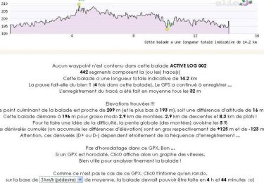
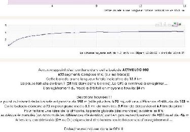
14.2 km | 15 km-effort


User


FREE GPS app for hiking
 SityTrail
IGN / Geographical institutes
SityTrail World
The world is yours!
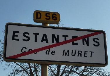
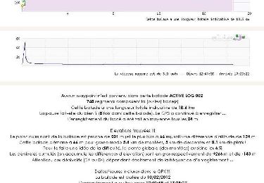
Trail Walking of 13.6 km to be discovered at Occitania, Haute-Garonne, Lavernose-Lacasse. This trail is proposed by tracegps.
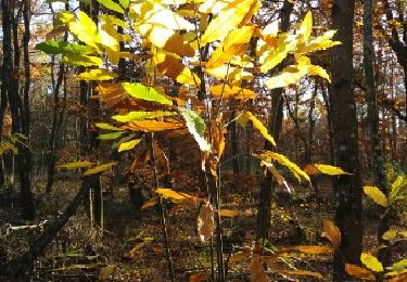
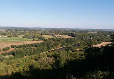
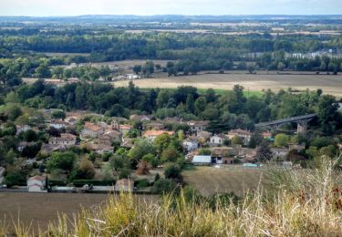
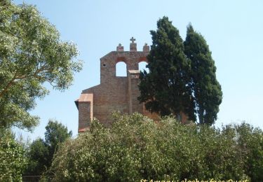
Petite commune au sud de Toulouse, Lavernose Lacasse brille par ses chemins plats non loin de la Garonne. On trace à travers champs non loin des lacs formés par les exploitations sablières. Circuit tranquille pour souffler entre deux courses de cotes !

Walking
Walking

Mountain bike
Walking
Walking
Walking
Walking
Walking
Walking