


10.9 km | 12.1 km-effort


User


FREE GPS app for hiking
 SityTrail
IGN / Geographical institutes
SityTrail World
The world is yours!
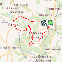
Trail Mountain bike of 13.5 km to be discovered at Pays de la Loire, Vendée, Aubigny-Les Clouzeaux. This trail is proposed by tracegps.
Plusieurs curiosités : sentier botanique, fontaine de Bel Air, Bourrine de la Joustière, Eglise romane...
Walking
Mountain bike
Walking
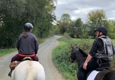
Horseback riding

On foot
On foot

Walking

Equestrian
Walking