


le refuge de l'alpe de Villard d’arène

amiral13
User GUIDE
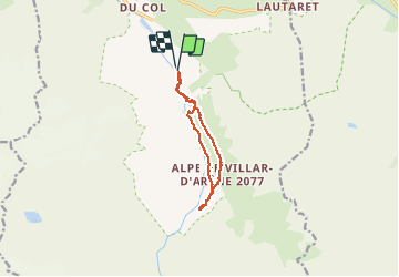

Length
10 km

Max alt
2091 m

Uphill gradient
398 m
Km-Effort
15.3 km

Min alt
1707 m

Downhill gradient
403 m
Boucle
Yes
Creation date :
2018-08-03 21:06:02.616
Updated on :
2018-08-03 21:06:02.647
3h28
Difficulty : Easy

FREE GPS app for hiking
 SityTrail
IGN / Geographical institutes
SityTrail Plus
The world is yours!
About
Trail Walking of 10 km to be discovered at Provence-Alpes-Côte d'Azur, Hautes-Alpes, Villar-d'Arêne. This trail is proposed by amiral13.
Description
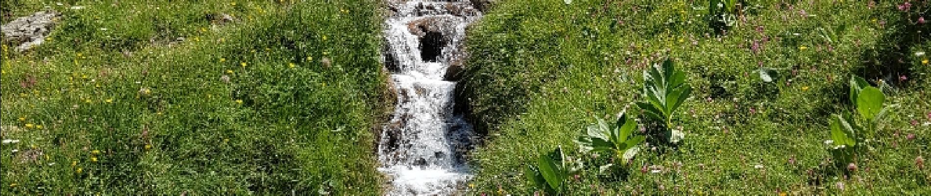
jolie balade en famille qui ne comporte aucune difficulté.
Troupeaux de vache et marmottes à volonté.
Photos


Positioning
Country:
France
Region :
Provence-Alpes-Côte d'Azur
Department/Province :
Hautes-Alpes
Municipality :
Villar-d'Arêne
Location:
Unknown
Start:(Dec)
Start:(UTM)
292875 ; 4988490 (32T) N.
Comments
Attention aux troupeaux de vache