


7.6 km | 12.1 km-effort

User


FREE GPS app for hiking
 SityTrail
IGN / Geographical institutes
SityTrail World
The world is yours!
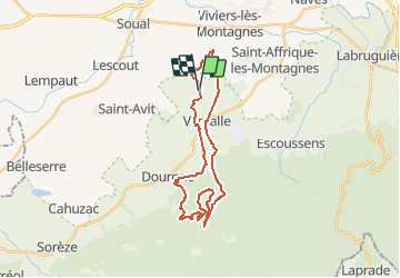
Trail Mountain bike of 29 km to be discovered at Occitania, Tarn, Verdalle. This trail is proposed by tracegps.
31 Décembre 2005 François, Pierre et Denis étaient au rendez-vous. Butch et Jérome quant à eux étaient à Limoux pour la Blanquetta. Nous sommes monté par la route direction Fonbruno pour ensuite la quitter pour aller rejoindre la piste du col. Ensuite nous avons continué à monter pour rejoindre le carrefour de Fonbruno, ensuite les Viviers et descente, très très rapide, sur Escoussens. Tout c'est bien passé sauf pour François qui a perdu la roue arrière, et oui ça arrive, et qui a cassé un rayon avec une branche, toujours à la roue arrière. Il n'a pas eu de chance aujourd'hui...

Walking

Electric bike
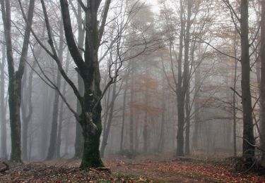
Walking
Mountain bike
Mountain bike
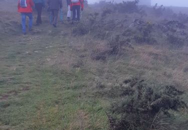
Walking
Walking