


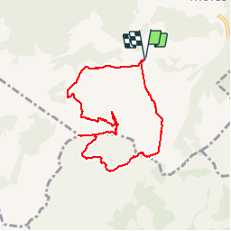


7.5 km | 13.1 km-effort

User


FREE GPS app for hiking
 SityTrail
IGN / Geographical institutes
SityTrail World
The world is yours!
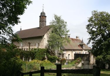
Trail Walking of 8 km to be discovered at Fribourg, Gruyère District, Gruyères. This trail is proposed by patpounet73.
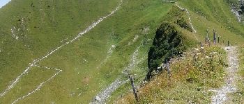
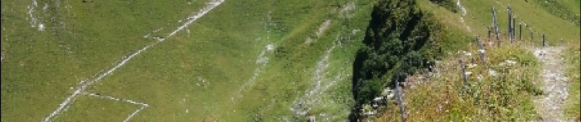
Très belle randonnée. Les plus courageux peuvent partir depuis Moleson Village, mais il faisait trop chaud ce 26 juillet.


Snowshoes
On foot

Walking

Other activity
Other activity

Cycle

Walking
Walking
Walking