


Beynac (1)

tracegps
User
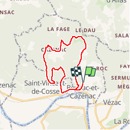

Length
15.4 km

Max alt
248 m

Uphill gradient
460 m
Km-Effort
22 km

Min alt
70 m

Downhill gradient
458 m
Boucle
Yes
Creation date :
2014-12-10 00:00:00.0
Updated on :
2014-12-10 00:00:00.0
5h00
Difficulty : Difficult

FREE GPS app for hiking
 SityTrail
IGN / Geographical institutes
SityTrail Plus
The world is yours!
About
Trail Walking of 15.4 km to be discovered at New Aquitaine, Dordogne, Beynac-et-Cazenac. This trail is proposed by tracegps.
Description
Pas de grosses difficultés et de très belles maisons... Tout est dit sur le site Rando.eu
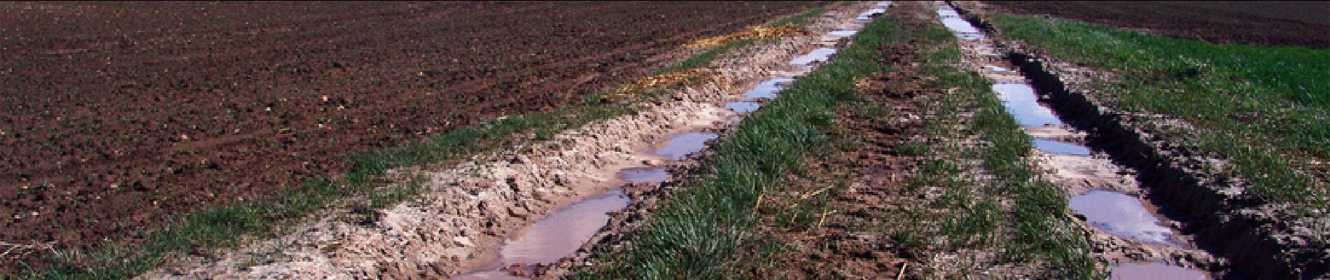
Photos
 - Photo 1")
Positioning
Country:
France
Region :
New Aquitaine
Department/Province :
Dordogne
Municipality :
Beynac-et-Cazenac
Location:
Unknown
Start:(Dec)
Start:(UTM)
353386 ; 4967301 (31T) N.
Comments