


13.6 km | 18.1 km-effort
New Aquitaine: Discover the best trails: 18,038 hiking trails, 5,256 bike and mountain-bike routes and 682 equestrian circuits. All these trails, routes and outdoor activities are available in our SityTrail applications for smartphones and tablets.

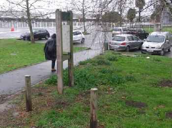
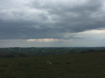
Walking


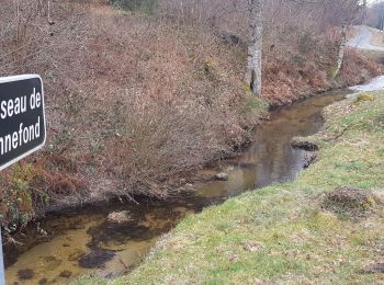
Walking
• rando sans dénivelé et pleine de patrimoine
Walking
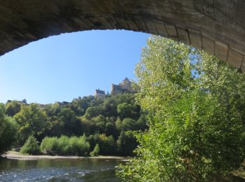
Walking
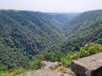
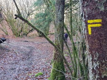
Mountain bike
Walking

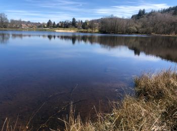
Walking

Walking

Walking
Snowshoes
Walking
Walking
Walking
Walking

Walking
Walking
Walking
Walking
Walking
Walking
20 trails displayed on 25203
FREE GPS app for hiking
 SityTrail
IGN / Geographical institutes
SityTrail World
The world is yours!