Trail Mountain bike Orcival - GTMC de Claire - 2 - Photo
 tracegps
tracegps

User

© OpenStreetMap contributors
Length
Length
61 km
Max alt
Max alt
1291 m
Uphill gradient
Uphill gradient
1792 m
Km-Effort
Km-Effort  
83 km
Min alt
Min alt
854 m
Downhill gradient
Downhill gradient
1457 m
Boucle
Boucle
No
Creation date :
2014-12-10 00:00:00.0
Updated on :
2014-12-10 00:00:00.0

(0 Reviews)

Mountain bike
Mountain bike
5h00
Difficulty : Very difficult

Scan this QR Code to open this trail in the SityTrail application

FREE GPS app for hiking

Logo SityTrail SityTrail

IGN / Geographical institutes

Download SityTrail from the App Store Download SityTrail from Google Play

Logo SityTrail SityTrail World

The world is yours!

Download SityTrail from the App Store Download SityTrail from Google Play Download SityTrail on Huawei AppGallery

About

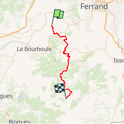
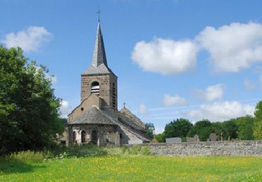
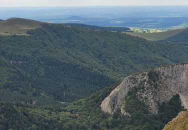
Trail Mountain bike of 61 km to be discovered at Auvergne-Rhône-Alpes, Puy-de-Dôme, Orcival. This trail is proposed by tracegps.

Description

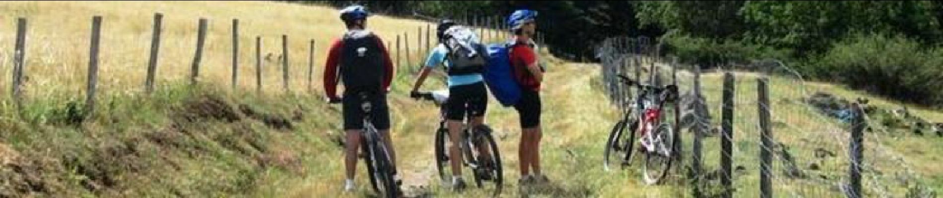
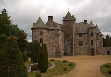
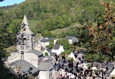
La Grande Traversée du Massif Central par Claire et ses amis. En douze étapes, revivez cette aventure sur son site. Deuxième étape: jeudi 3 Aout 2006. Retrouvez le résumé de la journée, les conseils et les photos ICI

Elevation profile

Photos

Positioning

Country:
France
Region :
Auvergne-Rhône-Alpes
Department/Province :
Puy-de-Dôme
Municipality :
Orcival
Location:
Unknown
Start:(UTM)
487772 ; 5058902 (31T) N.

Trails nearby

Trail Walking Orcival - Lac de Servières à partir du Café du Lac - Photo
Walking
Dalma Chuck

Walking

Medium
(1)
Orcival, Auvergne-Rhône-Alpes, Puy-de-Dôme, France
6.6 km | 9.5 km-effort
2h 9min
Yes
Trail Walking Saint-Bonnet-près-Orcival - St_Bonnet_Orcival_Sioule - Photo
Walking
GUIDE
jagarnier

Walking

Easy
(1)
Saint-Bonnet-près-Orcival, Auvergne-Rhône-Alpes, Puy-de-Dôme, France
9.4 km | 11.8 km-effort
2h 45min
Yes
Trail Walking Saint-Pierre-Roche - St_Pierre_Roche_Sioulot - Photo
Walking
GUIDE
jagarnier

Walking

Easy
(1)
Saint-Pierre-Roche, Auvergne-Rhône-Alpes, Puy-de-Dôme, France
10.7 km | 13.2 km-effort
2h 51min
Yes
Trail On foot Saint-Pierre-Roche - Le Sioulot - Photo
On foot
PRO

On foot

Easy
Saint-Pierre-Roche, Auvergne-Rhône-Alpes, Puy-de-Dôme, France
10 km | 12.3 km-effort
2h 47min
No
Trail On foot Rochefort-Montagne - Le Puy d'Ebert - Photo
On foot
PRO

On foot

Easy
Rochefort-Montagne, Auvergne-Rhône-Alpes, Puy-de-Dôme, France
9.4 km | 12.3 km-effort
2h 47min
No
Trail On foot Nébouzat - Le Puy de Pourcharet - Photo
On foot
PRO

On foot

Medium
Nébouzat, Auvergne-Rhône-Alpes, Puy-de-Dôme, France
19 km | 24 km-effort
5h 23min
Yes
Trail On foot Orcival - Bois des Bourelles - Photo
On foot
PRO

On foot

Easy
Orcival, Auvergne-Rhône-Alpes, Puy-de-Dôme, France
6.9 km | 10.1 km-effort
2h 17min
Yes
Trail Walking Orcival - Serviere_Aiguiller_T - Photo
Walking
force

Walking

Difficult
Orcival, Auvergne-Rhône-Alpes, Puy-de-Dôme, France
12.2 km | 17.2 km-effort
2h 46min
Yes
Trail Walking Orcival - Orcival_Bois_Bourelles - Photo
Walking
GUIDE
jagarnier

Walking

Easy
Orcival, Auvergne-Rhône-Alpes, Puy-de-Dôme, France
6.9 km | 10.1 km-effort
2h 0min
Yes


Close
My subscriptions