


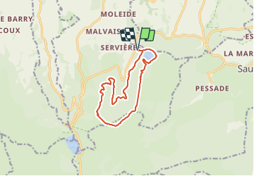

6.6 km | 9.5 km-effort


User


FREE GPS app for hiking
 SityTrail
IGN / Geographical institutes
SityTrail World
The world is yours!
Trail Walking of 12.2 km to be discovered at Auvergne-Rhône-Alpes, Puy-de-Dôme, Orcival. This trail is proposed by force.
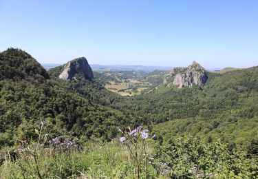
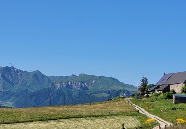
Départ du lac Servière en montant par piste forestière très belles vues sur les chaines de volcans et les lacs


Walking

Walking

Walking
On foot
On foot
On foot
On foot

Walking
Walking