


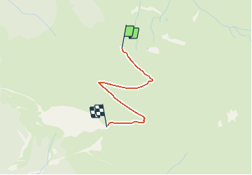

4.6 km | 10.2 km-effort


User


FREE GPS app for hiking
 SityTrail
IGN / Geographical institutes
SityTrail World
The world is yours!
Trail Walking of 2.1 km to be discovered at Occitania, Hautespyrenees, Luz-Saint-Sauveur. This trail is proposed by tracegps.
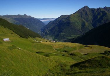
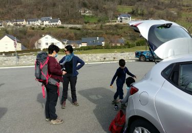
Rapport DIFFICULTE / INTERET exceptionnel ! Accès voiture: A Luz, prendre la direction Villenave puis passer aux Astés. Continuer la route qui devient (excellente) piste parcourant les belles granges du VALLON DE L'YSE. A un embranchement, laisser la piste qui descend remonter à droite jusqu'à la fin de la piste (grange et parc à bestiaux)..... La suite et plein d'autres infos avec de belles photos sont à découvrir sur Montagne Cool Source: Imag'In Pyrénées


Walking

On foot

Walking

Walking
On foot
On foot
Walking
On foot

Running