


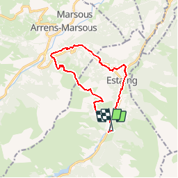

14.5 km | 29 km-effort

User


FREE GPS app for hiking
 SityTrail
IGN / Geographical institutes
SityTrail World
The world is yours!
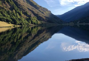
Trail Walking of 13.1 km to be discovered at Occitania, Hautespyrenees, Estaing. This trail is proposed by tracegps.
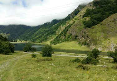
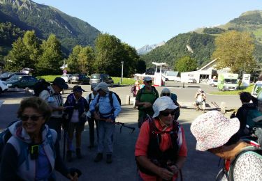
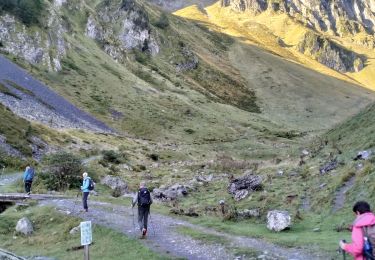
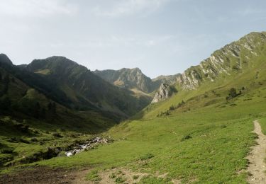
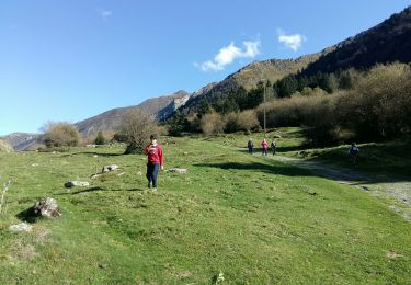
Un petit "bout" du tour du Val dAzun, une boucle au départ du gîte d’étape "les Viellettes" chez "Bubu", paysage magnifique. D’autres infos sur le site Rando.eu


Walking
Walking
Walking
Walking
Walking
Walking
Walking
Walking
Walking
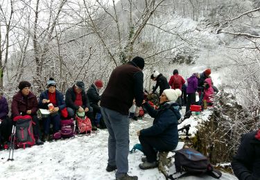
sympa