


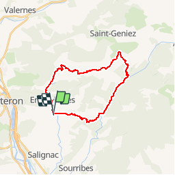

9.3 km | 18.4 km-effort


User


FREE GPS app for hiking
 SityTrail
IGN / Geographical institutes
SityTrail World
The world is yours!
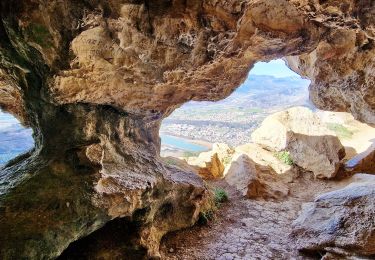
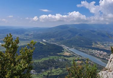
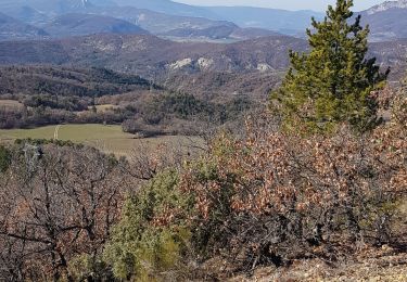
Trail Mountain bike of 25 km to be discovered at Provence-Alpes-Côte d'Azur, Alpes-de-Haute-Provence, Entrepierres. This trail is proposed by tracegps.
Montée par la route et une piste, descente du tonnerre et assez technique puis retour par la route.

Walking

Walking
Walking
Walking
Walking
Walking

Walking
Walking
Walking