


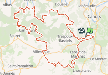

62 km | 81 km-effort


User


FREE GPS app for hiking
 SityTrail
IGN / Geographical institutes
SityTrail World
The world is yours!
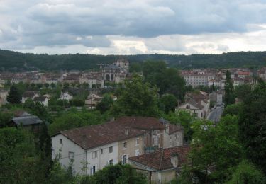
Trail Mountain bike of 75 km to be discovered at Occitania, Lot, Cahors. This trail is proposed by tracegps.
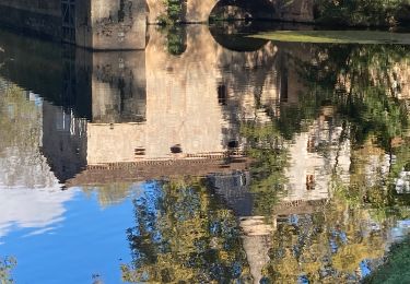
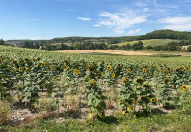
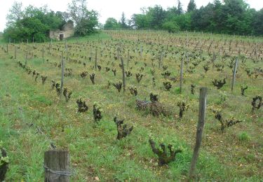
C'est le circuit 77 km de la Rozière 2007 à Cahors. Parcours très dur, beaucoup de technique, pas mal de descente et de côtes aussi, à faire quand il fait beau pour vraiment apprécier les points de vue du coin. Le terrain c'est beaucoup de caillasse et de poussière quand il fait chaud, mais ce parcours est un pur régal pour ceux qui aiment les raids ou les randos à la journée.

Mountain bike

Walking
Walking

Walking

Mountain bike

Walking
Running