Gatteville-le -Phare
toporient
User
Length
9.1 km
Max alt
19 m
Uphill gradient
37 m
Km-Effort
9.6 km
Min alt
-1 m
Downhill gradient
37 m
Boucle
Yes
Creation date :
2019-01-15 14:19:26.962
Updated on :
2019-01-15 14:19:26.962
2h13
Difficulty : Easy
FREE GPS app for hiking
About
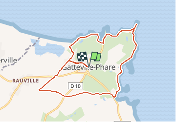
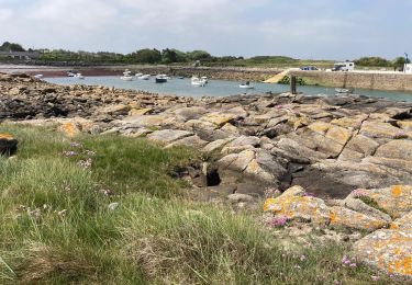
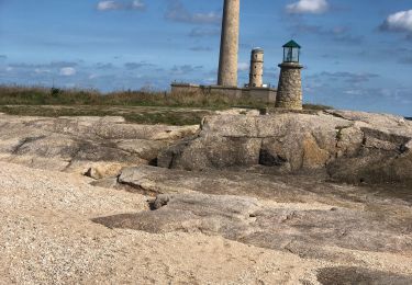
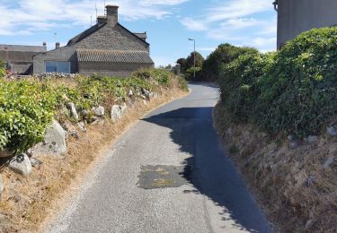
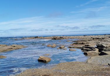
Trail Walking of 9.1 km to be discovered at Normandy, Manche, Gatteville-le-Phare. This trail is proposed by toporient.
Description
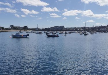
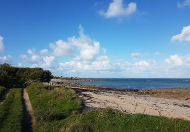
Départ de Gatteville.
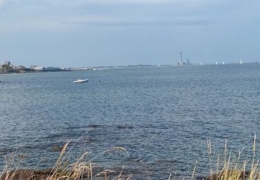
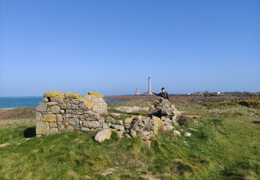
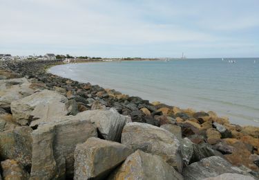
Le circuit fait le tour de la Pointe de Barfleur par la côte en passant au phare de Gatteville puis revient par les terres.
Positioning
Country:
France
Region :
Normandy
Department/Province :
Manche
Municipality :
Gatteville-le-Phare
Location:
Unknown
Start:(Dec)
Start:(UTM)
623884 ; 5505205 (30U) N.
Comments
Trails nearby
Montfarville
Walking
Very easy
Montfarville,
Normandy,
Manche,
France
9.3 km | 10 km-effort
1h 55min
Yes
gattevile
Walking
Easy
Gatteville-le-Phare,
Normandy,
Manche,
France
4.7 km | 5 km-effort
1h 22min
Yes
50 Barfleur / Phare de Gatteville 9.5km
Walking
Very easy
Barfleur,
Normandy,
Manche,
France
9.5 km | 9.9 km-effort
2h 46min
No
Pointe de Barfleur
Walking
Easy
Barfleur,
Normandy,
Manche,
France
14.3 km | 15.1 km-effort
4h 0min
Yes
Phare Gatteville
Walking
Easy
Gatteville-le-Phare,
Normandy,
Manche,
France
8.8 km | 9.3 km-effort
2h 33min
Yes
barfleur Gatteville
Road bike
Easy
Montfarville,
Normandy,
Manche,
France
10 km | 10.8 km-effort
51min
No
Barfleur Phare de Gatteville
Road bike
Easy
Barfleur,
Normandy,
Manche,
France
6.2 km | 6.5 km-effort
1h 30min
No
BARFLEUR /LA PERNELLE BARFLEUR
Road bike
Easy
Montfarville,
Normandy,
Manche,
France
16.3 km | 18.3 km-effort
2h 0min
No
Reville Barfleur boucle
Walking
Easy
Réville,
Normandy,
Manche,
France
10.2 km | 11 km-effort
3h 14min
Yes