


10.7 km | 16.9 km-effort

User


FREE GPS app for hiking
 SityTrail
IGN / Geographical institutes
SityTrail World
The world is yours!
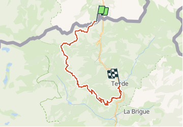
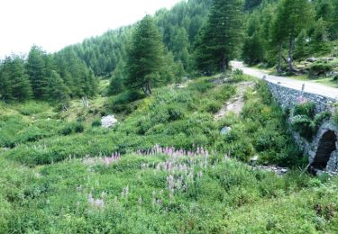
Trail Mountain bike of 26 km to be discovered at Piemont, Cuneo, Limone Piemonte. This trail is proposed by tracegps.
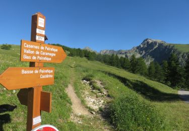
Espace VTT - FFC Haute Roya Circuit labellisé par la Fédération Française de Cyclisme. Ce parcours descendant est certainement le plus agréable. Vous partirez du Col de Tende (1986 m) pour arriver à Tende (850 m) en passant par la Baisse de Peirefique, Baisse d'Ourne et Speggi. L'itinéraire idéal pour se balader en fammille.

On foot
Walking
On foot
Walking
Snowshoes

Walking
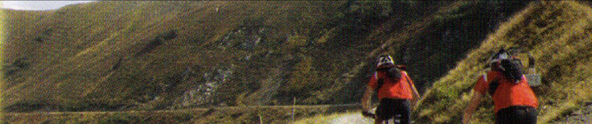
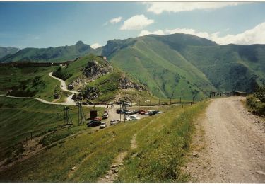
Mountain bike
Walking