Trail Walking Joze - Le vieil Allier - Photo
 tracegps
tracegps

User

© OpenStreetMap contributors
Length
Length
10.6 km
Max alt
Max alt
300 m
Uphill gradient
Uphill gradient
47 m
Km-Effort
Km-Effort  
11.2 km
Min alt
Min alt
290 m
Downhill gradient
Downhill gradient
50 m
Boucle
Boucle
Yes
Creation date :
2014-12-10 00:00:00.0
Updated on :
2014-12-10 00:00:00.0

(0 Reviews)

Walking
Walking
3h00
Difficulty : Medium

Scan this QR Code to open this trail in the SityTrail application

FREE GPS app for hiking

Logo SityTrail SityTrail

IGN / Geographical institutes

Download SityTrail from the App Store Download SityTrail from Google Play

Logo SityTrail SityTrail World

The world is yours!

Download SityTrail from the App Store Download SityTrail from Google Play Download SityTrail on Huawei AppGallery

About

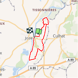
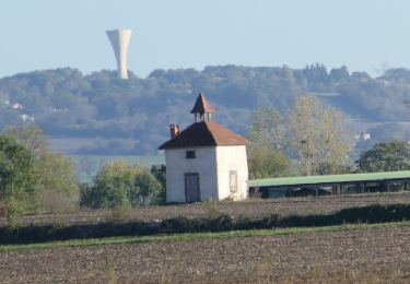
Trail Walking of 10.6 km to be discovered at Auvergne-Rhône-Alpes, Puy-de-Dôme, Joze. This trail is proposed by tracegps.

Description

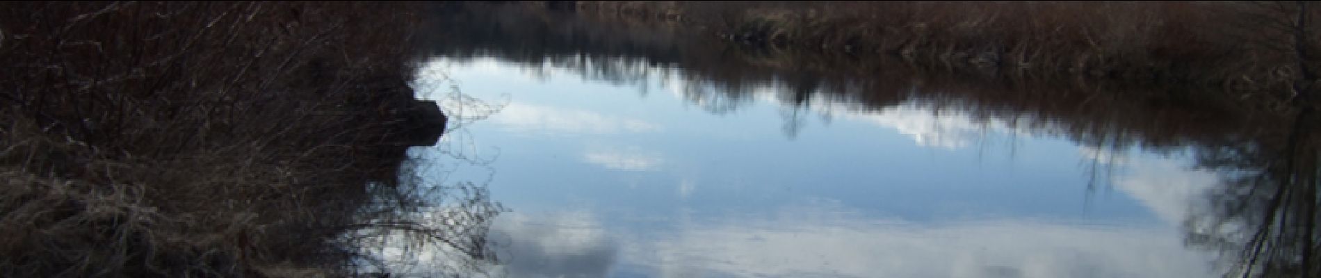
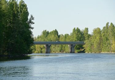
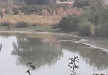
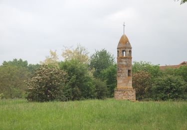
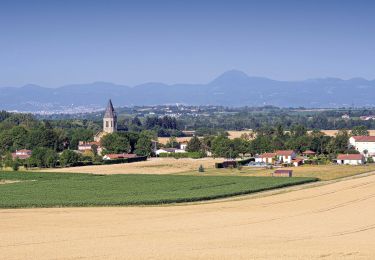
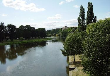
Balade sans difficulté au bord de l'Allier où il est possible d'observer rat musqué et ragondin, deux espèces spécifiques aux lieux traversés. Balade numérisée sur le terrain par Jean louis Phillipart. Retrouvez cette randonnée dans le topo Guide Chamina Au Fil de l’Allier.

Elevation profile

Photos

Positioning

Country:
France
Region :
Auvergne-Rhône-Alpes
Department/Province :
Puy-de-Dôme
Municipality :
Joze
Location:
Unknown
Start:(UTM)
523947 ; 5078696 (31T) N.

Trails nearby

Trail On foot Beauregard-l'Évêque - La Chapelle Saint-Aventin - Photo
On foot
PRO

On foot

Easy
Beauregard-l'Évêque, Auvergne-Rhône-Alpes, Puy-de-Dôme, France
8.8 km | 10.6 km-effort
2h 24min
Yes
Trail Cycle Joze - objectif 200 km - Photo
Cycle
guillaumepdm

Cycle

Medium
(1)
Joze, Auvergne-Rhône-Alpes, Puy-de-Dôme, France
204 km | 234 km-effort
10h 0min
No
Trail Walking Culhat - les Berges du Litroux, 7km300,59m - Photo
Walking
gergovie

Walking

Easy
Culhat, Auvergne-Rhône-Alpes, Puy-de-Dôme, France
7.3 km | 8.1 km-effort
1h 50min
Yes
Trail On foot Culhat - Les berges du litroux - Photo
On foot
PRO

On foot

Easy
Culhat, Auvergne-Rhône-Alpes, Puy-de-Dôme, France
7.3 km | 8.1 km-effort
1h 50min
Yes
Trail Walking Culhat - Culhat_Berges_Litroux - Photo
Walking
GUIDE
jagarnier

Walking

Easy
Culhat, Auvergne-Rhône-Alpes, Puy-de-Dôme, France
7.2 km | 8 km-effort
2h 15min
Yes
Trail Walking Entraigues - Entraigues - Photo
Walking
scheat

Walking

Easy
Entraigues, Auvergne-Rhône-Alpes, Puy-de-Dôme, France
9.7 km | 10.4 km-effort
2h 46min
Yes
Trail Walking Joze - Joze_Bord_Allier - Photo
Walking
GUIDE
jagarnier

Walking

Medium
(2)
Joze, Auvergne-Rhône-Alpes, Puy-de-Dôme, France
11.6 km | 12.6 km-effort
3h 15min
Yes
Trail Walking Saint-Laure - 2022-10-25 Saint Laure - Photo
Walking
guy63

Walking

Medium
Saint-Laure, Auvergne-Rhône-Alpes, Puy-de-Dôme, France
9.1 km | 9.8 km-effort
3h 12min
Yes
Trail Walking Entraigues - Entraigues - Photo
Walking
guy63

Walking

Medium
Entraigues, Auvergne-Rhône-Alpes, Puy-de-Dôme, France
9.3 km | 10 km-effort
3h 5min
Yes


Close
My subscriptions