


9.3 km | 18.5 km-effort

User


FREE GPS app for hiking
 SityTrail
IGN / Geographical institutes
SityTrail World
The world is yours!
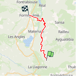
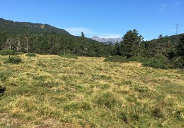
Trail Mountain bike of 15.6 km to be discovered at Occitania, Pyrénées-Orientales, Ayguatébia-Talau. This trail is proposed by tracegps.
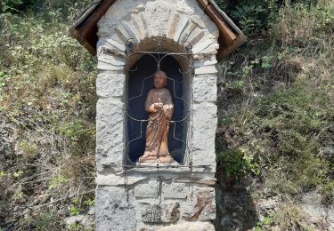
Espace VTT - FFC Capcir – Haut Confluent Circuit officiel labellisé par la Fédération Française de Cyclisme. La Llose vous permettra de tutoyer les sommets ! Tracé sur les crêtes des cimes occidentales du Capcir, le circuit offre à chaque instant un panorama différent sur les montagnes du Capcir, de la Cerdagne et du Haut Confluent. Vous finirez aussi l’itinéraire en passant devant la tour de Creu, une ancienne tour de garde au croisement de deux voies romaines. Arrivée à Formiguères.


Walking

Walking

Walking
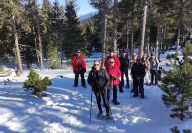
Snowshoes
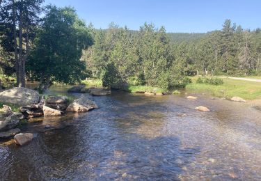
Walking
Snowshoes
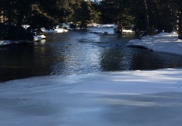
Snowshoes
Walking
Walking