


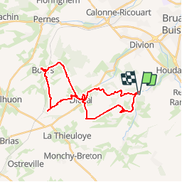

10.7 km | 13 km-effort


User


FREE GPS app for hiking
 SityTrail
IGN / Geographical institutes
SityTrail World
The world is yours!
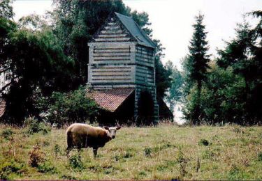
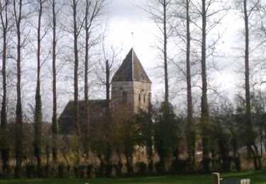
Trail Mountain bike of 26 km to be discovered at Hauts-de-France, Pas-de-Calais, Beugin. This trail is proposed by tracegps.
Circuit proposé par Artois Vert, le site tout terrain en Artois. Un parcours VTT avec carte, profil et fichier pour GPS de randonnée. de Beugin à Bours fait et testé par nos soins.


On foot
Other activity
Walking
Walking
Walking
Walking
Walking
Running
Trail