


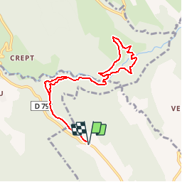

8.2 km | 13.8 km-effort

User


FREE GPS app for hiking
 SityTrail
IGN / Geographical institutes
SityTrail World
The world is yours!
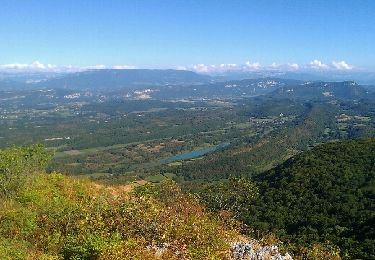
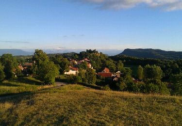
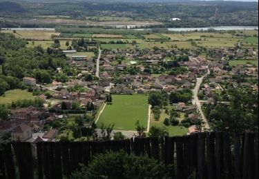
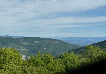
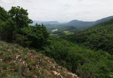
Trail Walking of 8.9 km to be discovered at Auvergne-Rhône-Alpes, Ain, Lhuis. This trail is proposed by tracegps.
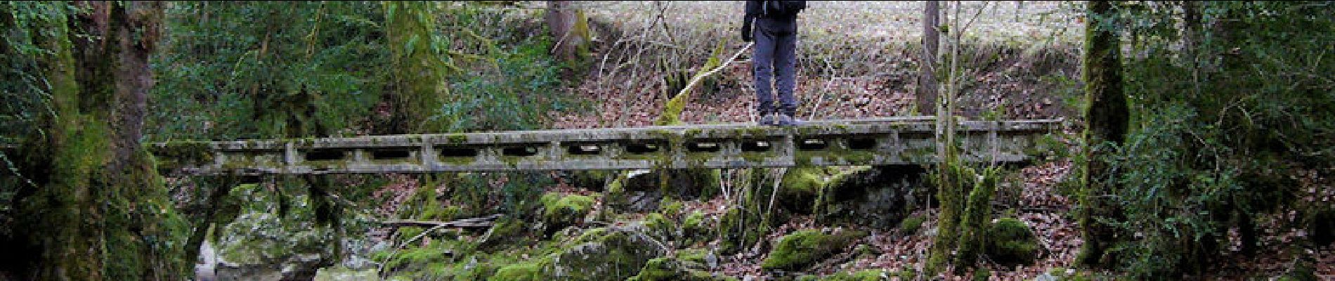
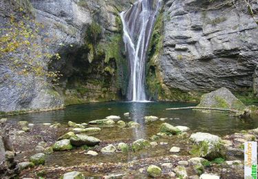
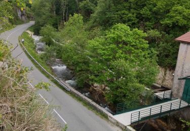
Explorer la vallée de la Brive en aval du circuit de sa magnifique cascade et découvrir le site de la Cascade de Chosas a motivé cette sortie intéressante à travers le pays de Lhuis. Description complète sur sentier-nature.com : La Cascade de Chosas, Lhuis

Walking
Mountain bike

Mountain bike
Mountain bike
Walking
Mountain bike
Walking
Mountain bike
Mountain bike
bien