Trail Walking Ottrott - Le Struthof - Photo
 tracegps
tracegps

User

© OpenStreetMap contributors
Length
Length
19.6 km
Max alt
Max alt
1024 m
Uphill gradient
Uphill gradient
510 m
Km-Effort
Km-Effort  
26 km
Min alt
Min alt
710 m
Downhill gradient
Downhill gradient
510 m
Boucle
Boucle
Yes
Creation date :
2014-12-10 00:00:00.0
Updated on :
2014-12-10 00:00:00.0

(0 Reviews)

Walking
Walking
5h30
Difficulty : Difficult

Scan this QR Code to open this trail in the SityTrail application

FREE GPS app for hiking

Logo SityTrail SityTrail

IGN / Geographical institutes

Download SityTrail from the App Store Download SityTrail from Google Play

Logo SityTrail SityTrail World

The world is yours!

Download SityTrail from the App Store Download SityTrail from Google Play Download SityTrail on Huawei AppGallery

About

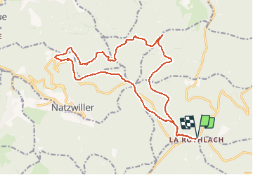
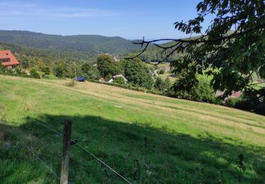
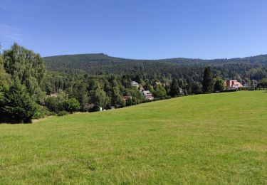
Trail Walking of 19.6 km to be discovered at Grand Est, Bas-Rhin, Ottrott. This trail is proposed by tracegps.

Description

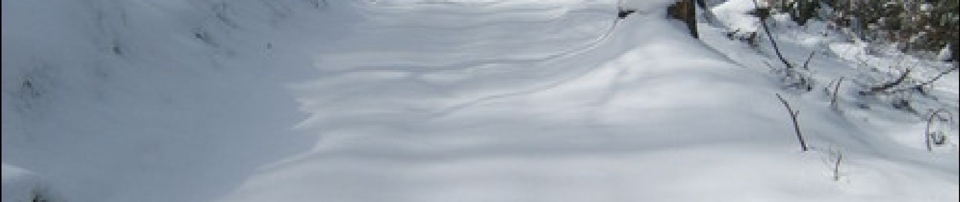
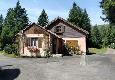
Départ sur le parking de l'auberge de la Rothlach, ce circuit est une grande boucle suivant plusieurs tronçons balisés du club vosgien. Il vous emmène sur le site du Struthof via le ©Gr5 et le ©Gr532, en empruntant aussi quelques pistes de ski de fond. Malgré l'altitude assez élevée, ce parcourt ne présente pas de dénivelé important.

Elevation profile

Photos

Positioning

Country:
France
Region :
Grand Est
Department/Province :
Bas-Rhin
Municipality :
Ottrott
Location:
Unknown
Start:(UTM)
375420 ; 5365333 (32U) N.

Trails nearby

Trail Walking Le Hohwald - suuntoapp-Hiking-2024-04-27T09-12-29Z - Photo
Walking
GUIDE
holtzv

Walking

Medium
Le Hohwald, Grand Est, Bas-Rhin, France
20 km | 31 km-effort
6h 58min
Yes
Trail Walking Le Hohwald - Tour du Hohwald - Photo
Walking
zazie

Walking

Medium
(1)
Le Hohwald, Grand Est, Bas-Rhin, France
8 km | 11.3 km-effort
2h 26min
Yes
Trail Horseback riding Belmont - Circuit VC Serva - Le Climont - Photo
Horseback riding
GUIDE+

Horseback riding

Medium
Belmont, Grand Est, Bas-Rhin, France
23 km | 33 km-effort
4h 20min
No
Trail Horseback riding Belmont - Circuit VC Le Hohwald - Serva - Photo
Horseback riding
GUIDE+

Horseback riding

Medium
Belmont, Grand Est, Bas-Rhin, France
16.2 km | 22 km-effort
2h 50min
No
Trail Walking Natzwiller - visite  - Photo
Walking
Thierry Cotty

Walking

Medium
Natzwiller, Grand Est, Bas-Rhin, France
7.1 km | 11.8 km-effort
2h 49min
Yes
Trail Walking Le Hohwald - le hohwald, boucle
Walking
bemurix

Walking

Easy
Le Hohwald, Grand Est, Bas-Rhin, France
3.4 km | 4.8 km-effort
55min
Yes
Trail Walking Le Hohwald - Hohwald (ter) - Photo
Walking
ROPPJP

Walking

Difficult
Le Hohwald, Grand Est, Bas-Rhin, France
11.2 km | 15.6 km-effort
3h 31min
Yes
Trail Walking Le Hohwald - Le Hohwald (bis) - Photo
Walking
ROPPJP

Walking

Medium
Le Hohwald, Grand Est, Bas-Rhin, France
7.9 km | 11.1 km-effort
2h 56min
No
Trail Snowshoes Belmont - cascade de la serva - Photo
Snowshoes
apa

Snowshoes

Medium
Belmont, Grand Est, Bas-Rhin, France
7.1 km | 10.8 km-effort
3h 41min
Yes


Close
My subscriptions