


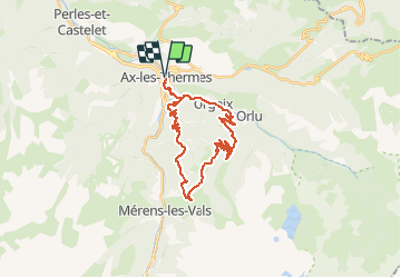

12.3 km | 26 km-effort

User


FREE GPS app for hiking
 SityTrail
IGN / Geographical institutes
SityTrail World
The world is yours!
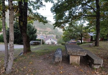
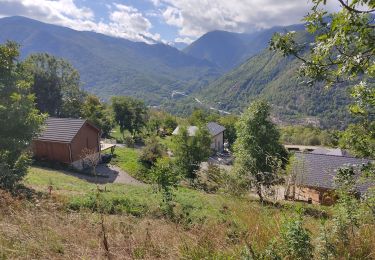
Trail Mountain bike of 29 km to be discovered at Occitania, Ariège, Ax-les-Thermes. This trail is proposed by tracegps.
Espace VTT - FFC Vallées d’Ax Circuit officiel labellisé par la Fédération Française de Cyclisme. Grimpez au cœur d'une majestueuse forêt de montagne jusqu'au col de Joux où le panorama s'ouvrira alors sur les hauts sommets. Au cours de la descente se dévoilera la charmante vallée de l'Oriège dominée par la spectaculaire Dent d'Orlu, bien connue des grimpeurs. La Communauté de Communes se dégage de toute responsabilité concernant l'utilisation de parcours non balisés. Pour toute remarque sur le site VTT-FFC , adressez-vous à la Communauté de Communes des Vallées d'Ax au : cdcvalleesdax.montagne@wanadoo.fr

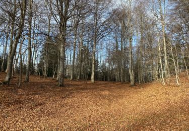
Walking
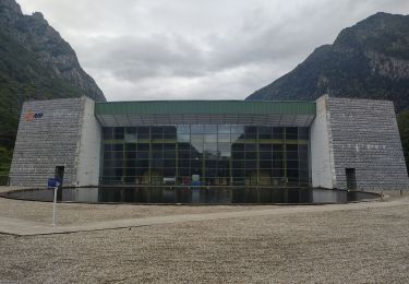
Walking
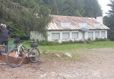
Mountain bike

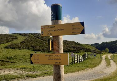
Walking
Walking
Walking
Walking