


6.5 km | 13.2 km-effort


User


FREE GPS app for hiking
 SityTrail
IGN / Geographical institutes
SityTrail World
The world is yours!
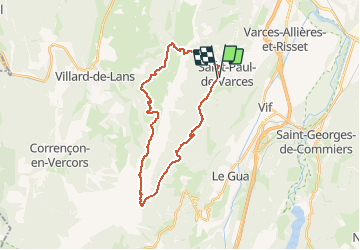
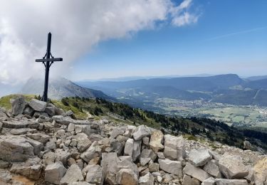
Trail Walking of 28 km to be discovered at Auvergne-Rhône-Alpes, Isère, Saint-Paul-de-Varces. This trail is proposed by gsouque.
varces cole de l'arc col de l'oeil varces!

Walking
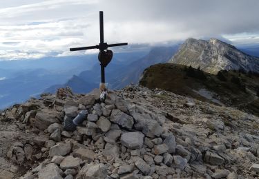
Walking

Snowshoes

Walking

Walking

Snowshoes
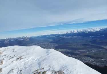
Walking
Walking
Walking