


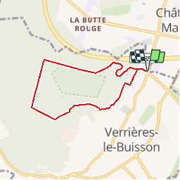

11.9 km | 14 km-effort


User


FREE GPS app for hiking
 SityTrail
IGN / Geographical institutes
SityTrail World
The world is yours!
Trail Walking of 6 km to be discovered at Ile-de-France, Essonne, Verrières-le-Buisson. This trail is proposed by tracegps.
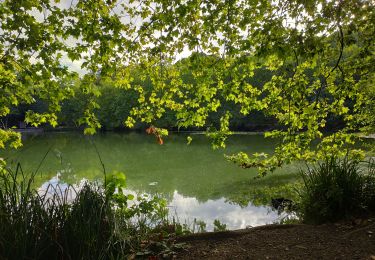
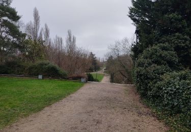
Foret domaniale de Verrières, circuit des mares. Un circuit de l’Office de Tourisme de Verrières le Buisson que l’on retrouve sur Tourisme Essonne. La fiche est téléchargeable ICI.


Walking

Walking

Walking

Walking

Walking

On foot
Walking
Walking
Walking