


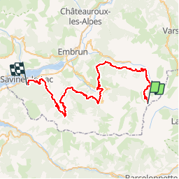

29 km | 49 km-effort


User


FREE GPS app for hiking
 SityTrail
IGN / Geographical institutes
SityTrail World
The world is yours!
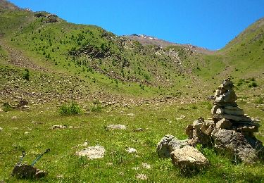
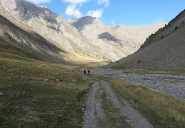
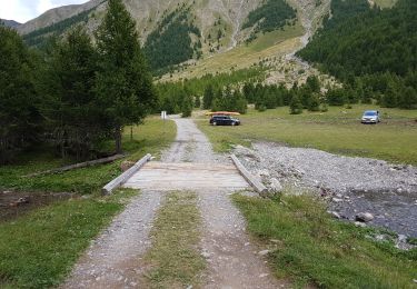
Trail Motor of 57 km to be discovered at Provence-Alpes-Côte d'Azur, Hautes-Alpes, Crévoux. This trail is proposed by yadraq01.
quad retour parpaillon savines-le- lac voiture
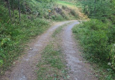
Walking
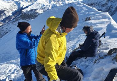
Touring skiing
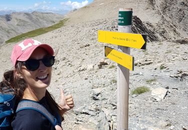
Walking
Nordic walking
Walking

Touring skiing
Walking

Walking


sport