Trail Mountain bike Speloncato - Raid VTT en Corse - Speloncato à Saint Florent - Photo

Raid VTT en Corse - Speloncato à Saint Florent

 tracegps
tracegps

User

© OpenStreetMap contributors
Length
Length
83 km
Max alt
Max alt
750 m
Uphill gradient
Uphill gradient
2170 m
Km-Effort
Km-Effort  
114 km
Min alt
Min alt
-4 m
Downhill gradient
Downhill gradient
2689 m
Boucle
Boucle
No
Creation date :
10/12/2014 00:00
Updated on :
10/12/2014 00:00

(0 Reviews)

Mountain bike
Mountain bike
8h00
Difficulty : Very difficult

Scan this QR Code to open this trail in the SityTrail application

FREE GPS app for hiking

Logo SityTrail SityTrail

IGN / Geographical institutes

Download SityTrail from the App Store Download SityTrail from Google Play

Logo SityTrail SityTrail Plus

The world is yours!

Download SityTrail from the App Store Download SityTrail from Google Play Download SityTrail on Huawei AppGallery

About

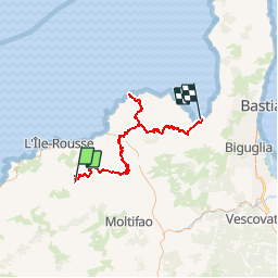
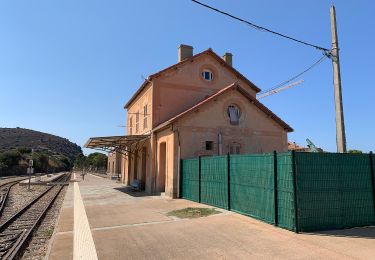
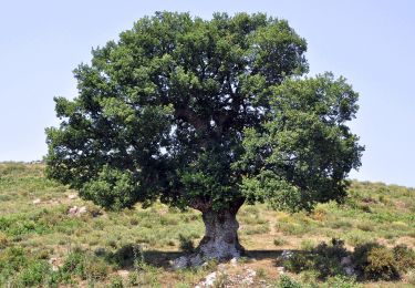
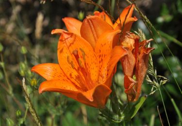
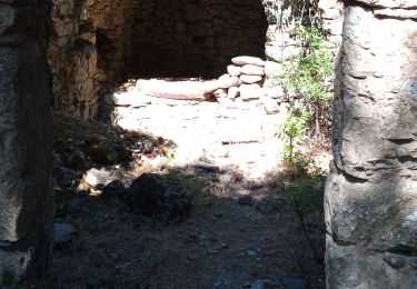
Trail Mountain bike of 83 km to be discovered at Corsica, Haute-Corse, Speloncato. This trail is proposed by tracegps.

Description

Raid VTT en Corse – Speloncato à Saint Florent Environ 25km de piste (aller/retour dans le désert des Agriattes). Le trajet pourrait être optimisé afin de rejoindre la plage de Saleccia après le point 6, par un sentier que je n'ai pas trouvé... La route de St Florent était un peu trop passante à mon goût, mais la solitude, et la plage du désert des Agriattes ont effacé cette impression. Attention aux réserves en eau... Le road Book, d’autres photos et des commentaires se trouvent sur le site VTT en Corse.

Elevation profile

Photos

Positioning

Country:
France
Region :
Corsica
Department/Province :
Haute-Corse
Municipality :
Speloncato
Location:
Unknown
Start:(UTM)
498421 ; 4712125 (32T) N.


Close
My subscriptions