


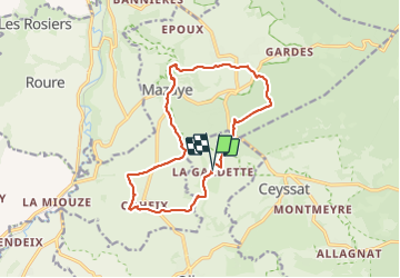

10.7 km | 13.2 km-effort


User


FREE GPS app for hiking
 SityTrail
IGN / Geographical institutes
SityTrail World
The world is yours!
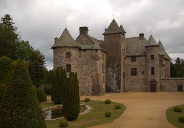
Trail Walking of 14.3 km to be discovered at Auvergne-Rhône-Alpes, Puy-de-Dôme, Olby. This trail is proposed by Maca8284.
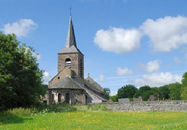
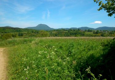
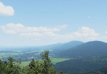
jolis points de vues. au départ 100m de chemin de ronces ensuite rando sympa
Walking
Walking

Walking
On foot
On foot

Mountain bike

Walking

Walking
On foot