


Sentier des Arpelières

supercolas
User GUIDE
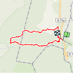

Length
4 km

Max alt
1630 m

Uphill gradient
94 m
Km-Effort
5.3 km

Min alt
1542 m

Downhill gradient
91 m
Boucle
Yes
Creation date :
2019-01-15 15:10:02.489
Updated on :
2019-01-15 15:10:02.489
2h03
Difficulty : Easy

FREE GPS app for hiking
 SityTrail
IGN / Geographical institutes
SityTrail Plus
The world is yours!
About
Trail Walking of 4 km to be discovered at Auvergne-Rhône-Alpes, Savoy, Crest-Voland. This trail is proposed by supercolas.
Description
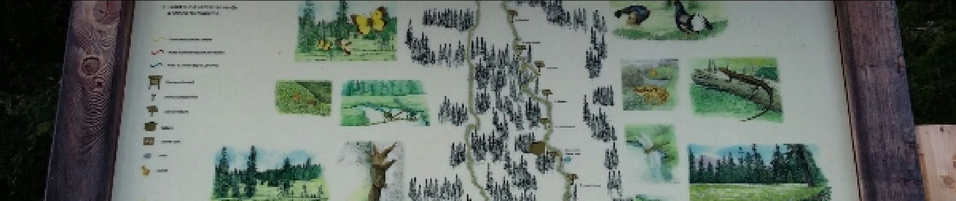
faune des Tourbières
Photos

Positioning
Country:
France
Region :
Auvergne-Rhône-Alpes
Department/Province :
Savoy
Municipality :
Crest-Voland
Location:
Unknown
Start:(Dec)
Start:(UTM)
307766 ; 5071644 (32T) N.
Comments