


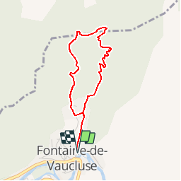


15.1 km | 25 km-effort


User


FREE GPS app for hiking
 SityTrail
IGN / Geographical institutes
SityTrail World
The world is yours!
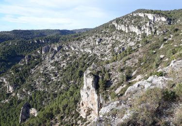
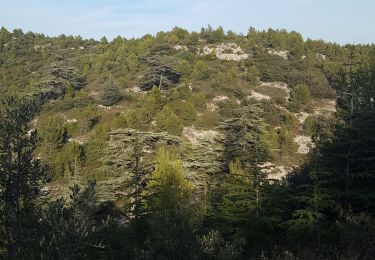
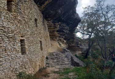
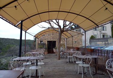
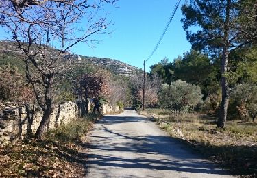
Trail Walking of 3.5 km to be discovered at Provence-Alpes-Côte d'Azur, Vaucluse, Fontaine-de-Vaucluse. This trail is proposed by tracegps.
Une jolie boucle au dessus de Fontaine de Vaucluse en complément de la classique visite du gouffre.


Walking
Walking

Motor
Walking

Walking
Walking
Walking

Hybrid bike
Walking