


26 km | 33 km-effort

User


FREE GPS app for hiking
 SityTrail
IGN / Geographical institutes
SityTrail World
The world is yours!
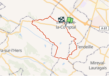
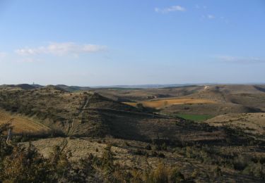
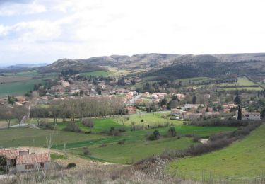
Trail Mountain bike of 14.3 km to be discovered at Occitania, Aude, Villeneuve-la-Comptal. This trail is proposed by tracegps.
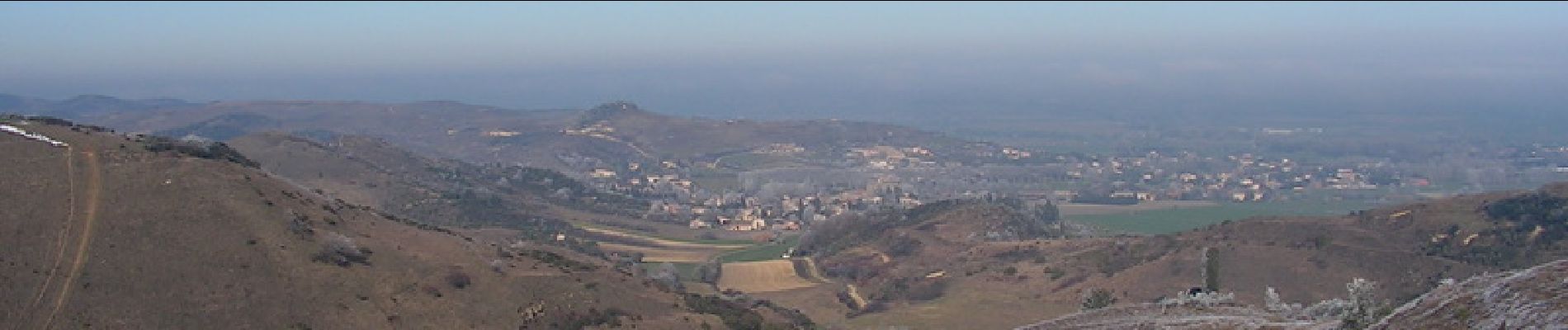
Après s’être garé sur la place de l’école, le départ se fera au centre du village. Direction Fendeille, via Pech Haut où vous aurez une vue de la plaine lauragaise, et au-delà, de la Montagne Noire. Cap au sud, pour passer devant l’ancien terrain de moto cross de Fendeille, puis laisser, plus loin, Ste Marie sur votre droite. Après avoir monté le talus proche de la D6, prendre direction ouest sur 1,2 km. A droite toute pour suivre cette monotrace qui vous amènera, après la traversée des bois de Ste Marie et quelques centaines de mètres sur chemins carrossables, vers un chemin de crête des collines sud ouest de Villeneuve. Par ces crêtes, vous arriverez au col de Samson. Il faudra traverser la route pour passer de l’autre côté de la D 624. A ce niveau, le sentier n’est pas tracé ; vous le retrouverez plus loin en suivant le bord du champ. Vous vous retrouverez vers les plantations du Mas Ste Puelles que vous longerez pendant environ un kilomètre. Puis, cap sud-est. Suivez la crête. Plus loin, le centre équestre se trouvera à votre droite. Il ne vous reste plus qu’à descendre vers le village.


Mountain bike

Walking
Walking

Mountain bike
Walking
Walking
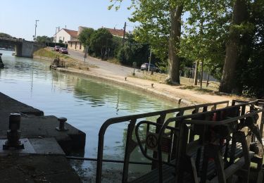
Motorboat
Motorboat
Walking