


sur les pas deBC 2018

LouisROGER
User GUIDE

Length
12 km

Max alt
434 m

Uphill gradient
166 m
Km-Effort
14.2 km

Min alt
316 m

Downhill gradient
165 m
Boucle
Yes
Creation date :
2019-01-15 15:21:28.715
Updated on :
2019-01-15 15:21:28.715
3h06
Difficulty : Unknown

FREE GPS app for hiking
 SityTrail
IGN / Geographical institutes
SityTrail Plus
The world is yours!
About
Trail Walking of 12 km to be discovered at New Aquitaine, Pyrénées-Atlantiques, Livron. This trail is proposed by LouisROGER.
Description
de la plaine de l'Ousse au plateau en passant par les bois noirs.
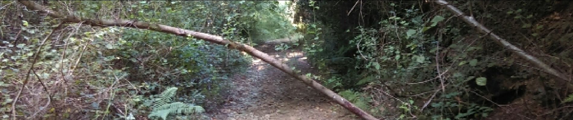
Photos


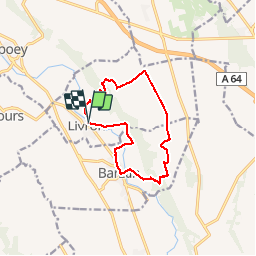
Positioning
Country:
France
Region :
New Aquitaine
Department/Province :
Pyrénées-Atlantiques
Municipality :
Livron
Location:
Unknown
Start:(Dec)
Start:(UTM)
732262 ; 4789945 (30T) N.
Comments