


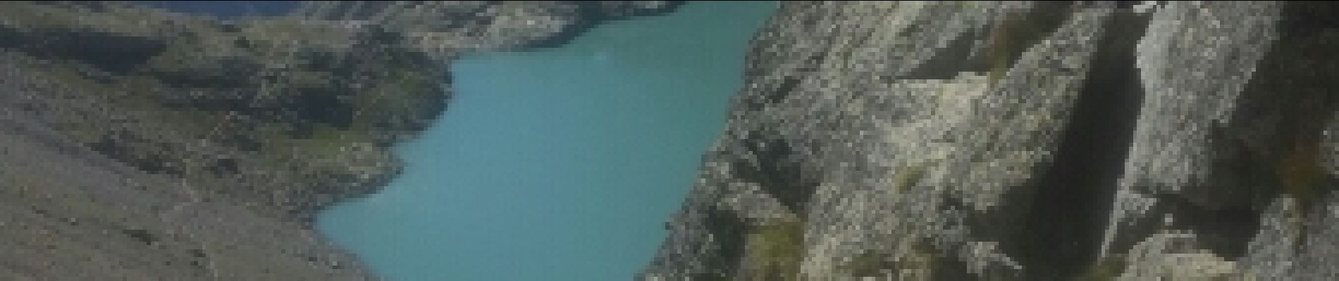
Chambran Lac de l'Eychauda

JeanPierreNancy
User
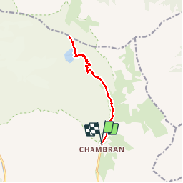

Length
13.6 km

Max alt
2668 m

Uphill gradient
970 m
Km-Effort
27 km

Min alt
1717 m

Downhill gradient
967 m
Boucle
Yes
Creation date :
2019-01-15 15:22:06.198
Updated on :
2019-01-15 15:22:06.198
6h57
Difficulty : Unknown

FREE GPS app for hiking
 SityTrail
IGN / Geographical institutes
SityTrail Plus
The world is yours!
About
Trail Walking of 13.6 km to be discovered at Provence-Alpes-Côte d'Azur, Hautes-Alpes, Vallouise-Pelvoux. This trail is proposed by JeanPierreNancy.
Photos


Positioning
Country:
France
Region :
Provence-Alpes-Côte d'Azur
Department/Province :
Hautes-Alpes
Municipality :
Vallouise-Pelvoux
Location:
Pelvoux
Start:(Dec)
Start:(UTM)
302041 ; 4975081 (32T) N.
Comments