Trail Walking Lestelle-Bétharram - Lestelle - Boucle des Bastides - Photo
 tracegps
tracegps

User

© OpenStreetMap contributors
Length
Length
12.2 km
Max alt
Max alt
424 m
Uphill gradient
Uphill gradient
307 m
Km-Effort
Km-Effort  
16.3 km
Min alt
Min alt
296 m
Downhill gradient
Downhill gradient
305 m
Boucle
Boucle
Yes
Creation date :
2014-12-10 00:00:00.0
Updated on :
2014-12-10 00:00:00.0

(0 Reviews)

Walking
Walking
3h00
Difficulty : Medium

Scan this QR Code to open this trail in the SityTrail application

FREE GPS app for hiking

Logo SityTrail SityTrail

IGN / Geographical institutes

Download SityTrail from the App Store Download SityTrail from Google Play

Logo SityTrail SityTrail World

The world is yours!

Download SityTrail from the App Store Download SityTrail from Google Play Download SityTrail on Huawei AppGallery

About

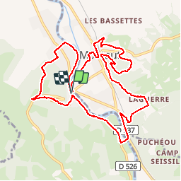
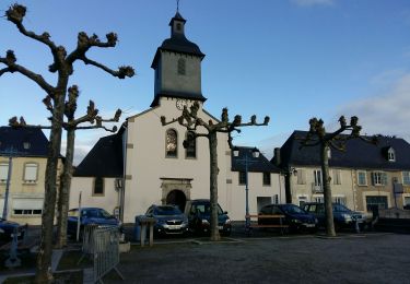
Trail Walking of 12.2 km to be discovered at New Aquitaine, Pyrénées-Atlantiques, Lestelle-Bétharram. This trail is proposed by tracegps.

Description

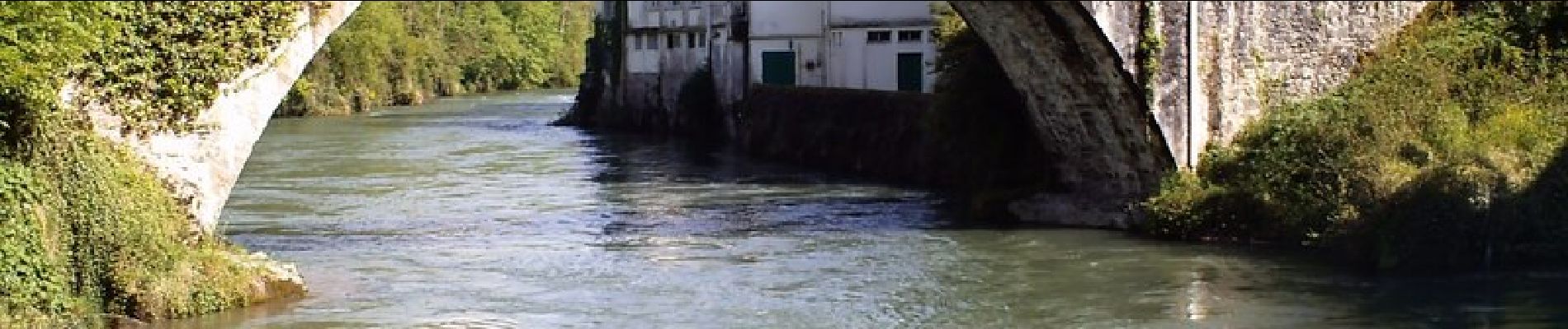
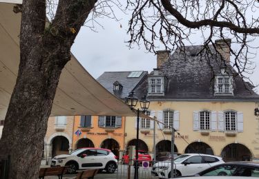
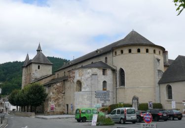
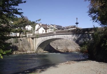
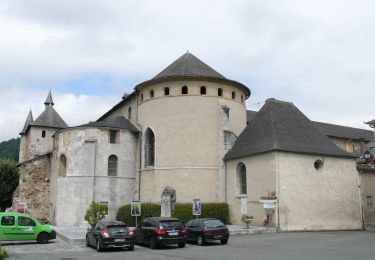
Beau parcours sans difficulté autour de Montaut et de Lestelle qui sont d'anciennes bastides. Le circuit longe d'abord le gave de Pau rive droite avant de passer sur les collines environnantes qui offrent de beaux paysages. A voir : le sanctuaire de Betharram, le pont des grottes et le slalom pour les kayakistes, la vue depuis la Croix des Hauteurs, les berges du gave au retour à Lestelle.

Elevation profile

Photos

Positioning

Country:
France
Region :
New Aquitaine
Department/Province :
Pyrénées-Atlantiques
Municipality :
Lestelle-Bétharram
Location:
Unknown
Start:(UTM)
727212 ; 4778270 (30T) N.

Trails nearby

Trail On foot Saint-Pé-de-Bigorre - SAINT PE DE BIGORRE Le grand tour de saint pe
On foot
GUIDE
marmotte65

On foot

Easy
Saint-Pé-de-Bigorre, Occitania, Hautespyrenees, France
9.8 km | 13.6 km-effort
3h 5min
Yes
Trail On foot Saint-Pé-de-Bigorre - Le Plateau du Mousqué - Photo
On foot
PRO

On foot

Easy
Saint-Pé-de-Bigorre, Occitania, Hautespyrenees, France
5.1 km | 7.8 km-effort
1h 45min
Yes
Trail On foot Saint-Pé-de-Bigorre - Lengous et Montagnou - Photo
On foot
PRO

On foot

Easy
Saint-Pé-de-Bigorre, Occitania, Hautespyrenees, France
5.3 km | 7.4 km-effort
1h 40min
Yes
Trail On foot Saint-Pé-de-Bigorre - Les Coteaux de Saint-Pé - Photo
On foot
PRO

On foot

Easy
Saint-Pé-de-Bigorre, Occitania, Hautespyrenees, France
9.2 km | 12.2 km-effort
2h 46min
Yes
Trail Walking Saint-Pé-de-Bigorre - Les Soums Saint-Péens - Saint Pé de Bigorre - Photo
Walking
tracegps

Walking

Difficult
(1)
Saint-Pé-de-Bigorre, Occitania, Hautespyrenees, France
15.3 km | 31 km-effort
7h 0min
Yes
Trail Walking Lestelle-Bétharram - 2023 10 10 CHEMIN du PIÉMONT PYRÉNÉEN - 18ème étape : Lestelle-Bétharram - Asson - Bruges - Mifaget - Ste Colome - Arudy - Photo
Walking
LEGUE

Walking

Medium
Lestelle-Bétharram, New Aquitaine, Pyrénées-Atlantiques, France
28 km | 36 km-effort
6h 9min
No
Trail Walking Asson - ASSON Igon Touyas de Capsus
Walking
GUIDE
marmotte65

Walking

Difficult
Asson, New Aquitaine, Pyrénées-Atlantiques, France
13 km | 16.3 km-effort
4h 5min
Yes
Trail On foot Saint-Pé-de-Bigorre - Le sentier du Bénac - Photo
On foot
PRO

On foot

Easy
Saint-Pé-de-Bigorre, Occitania, Hautespyrenees, France
8.1 km | 14.3 km-effort
3h 14min
Yes
Trail Walking Lestelle-Bétharram - LESTELLE BETHARRAM entre amis - Photo
Walking
GUIDE
marmotte65

Walking

Very easy
Lestelle-Bétharram, New Aquitaine, Pyrénées-Atlantiques, France
9.5 km | 12.5 km-effort
2h 29min
Yes


Close
My subscriptions