


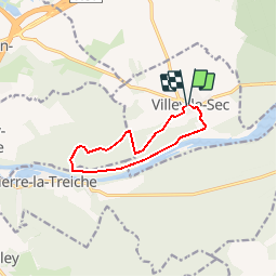


31 km | 38 km-effort


User


FREE GPS app for hiking
 SityTrail
IGN / Geographical institutes
SityTrail World
The world is yours!
Trail Equestrian of 8.6 km to be discovered at Grand Est, Meurthe-et-Moselle, Villey-le-Sec. This trail is proposed by tracegps.
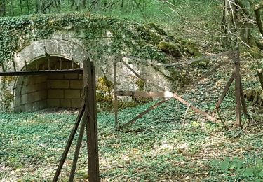
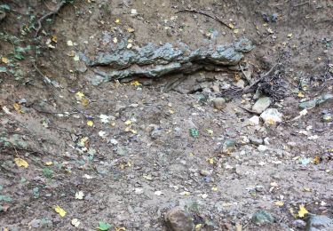
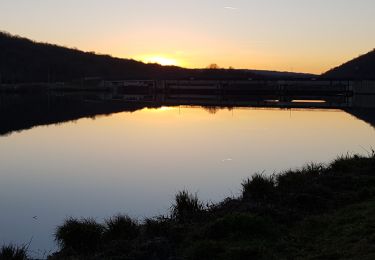
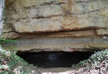
Entre Moselle et forêt. Circuit de la Poudrière." Départ mairie. Itinéraire : village-chemin vers centre équestre de la Sabotière- maison garde barrière-grotte Ste Reine-ancienne poudrière de Bois sous Roche-sentier des Bornes-fort. Variante possible après la Sabotière pour un retour vers le village par le GR5 . Connexion avec le circuit du Bois Gaillard et le circuit Ste Reine au carrefour du chemin des grottes.
Walking
Walking
Walking

Walking
Walking
Walking
Walking
Walking
Walking