


12.2 km | 28 km-effort

User


FREE GPS app for hiking
 SityTrail
IGN / Geographical institutes
SityTrail World
The world is yours!
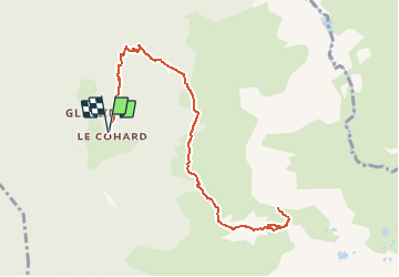
Trail Walking of 11.4 km to be discovered at Auvergne-Rhône-Alpes, Isère, Le Haut-Bréda. This trail is proposed by tracegps.
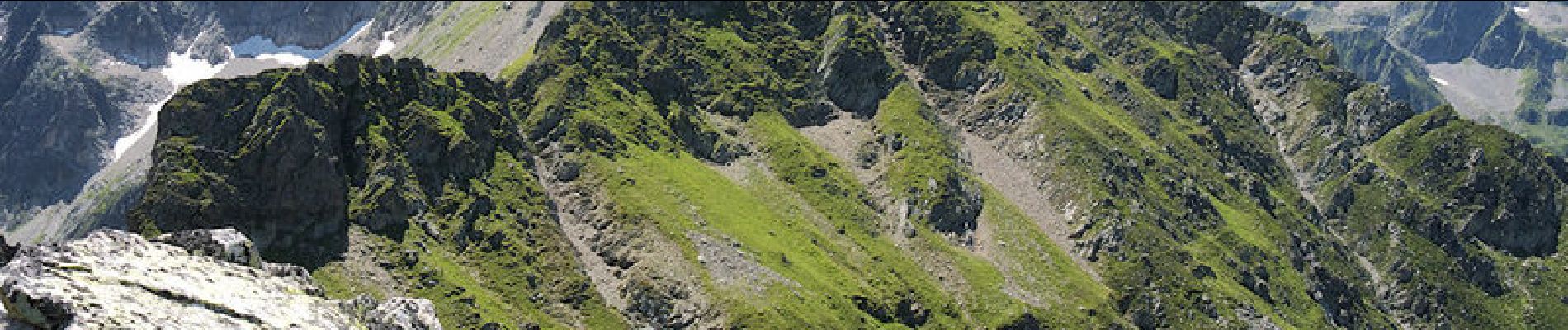
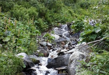
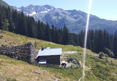
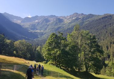
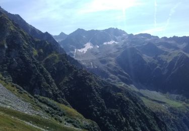
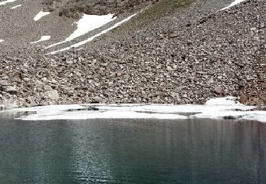
Depuis le Cohard, petit hameau de Pinsot pas très loin d'Allevard les Bains, la montée passe par l'Aup Bernard, le Chalet et le Col du Vay avant d'emprunter à gauche de vagues traces de moutons pour grimper par le versant Est de la Montagne de Périoule au sommet coté 2368m. Description complète sur sentier-nature.com : La Montagne de Périoule 2368m, depuis le Cohard Avertissement. Certains passages de cet itinéraire de montagne sont escarpés et/ou exposés, il est déconseillé aux enfants non accompagnés et aux personnes sujettes au vertige. Pour votre sécurité, nous vous invitons à respecter les règles suivantes : être bien chaussé, ne pas s'engager par mauvais temps, ne pas s'écarter de l'itinéraire ni des sentiers. En début de saison, cet itinéraire facile risque de devenir une randonnée alpine sérieuse nécessitant l'usage du piolet.

Walking
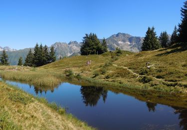
Walking

Walking
Walking
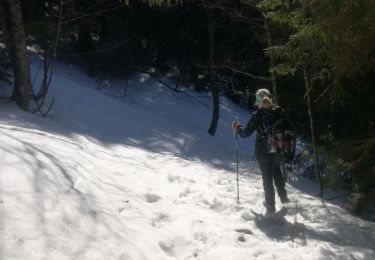
Snowshoes
On foot
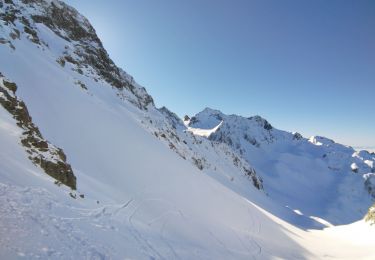
Touring skiing
Walking
Walking