


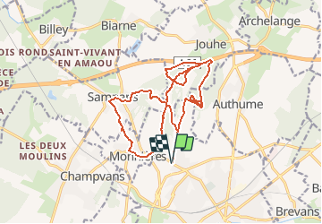

11.8 km | 15.4 km-effort


User


FREE GPS app for hiking
 SityTrail
IGN / Geographical institutes
SityTrail World
The world is yours!
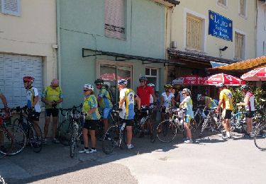
Trail Mountain bike of 18.3 km to be discovered at Bourgogne-Franche-Comté, Jura, Dole. This trail is proposed by tracegps.
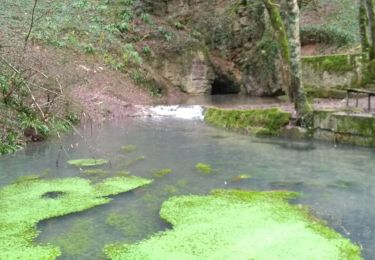
Petit parcours sympa autour du Mont Roland,avec un point de vue sur le Mont Joly.

Walking
Walking
Road bike
Walking
Walking
Walking
Cycle
Jolie balade, dommage que les montées ne soient que des voies carrossables.